Kubuta geodata
Kubuta (Shiselweni) is a populated place; located in Eswatini in Africa/Mbabane (GMT+2) time zone. With population of 2,038 people, there are 16 cities with bigger population in this country. Compared to other cities in Eswatini, 77.3% of cities are located further ↑North; 63.6% of cities are located further ←West and 68.2% of cities have higher elevation than Kubuta. Note1


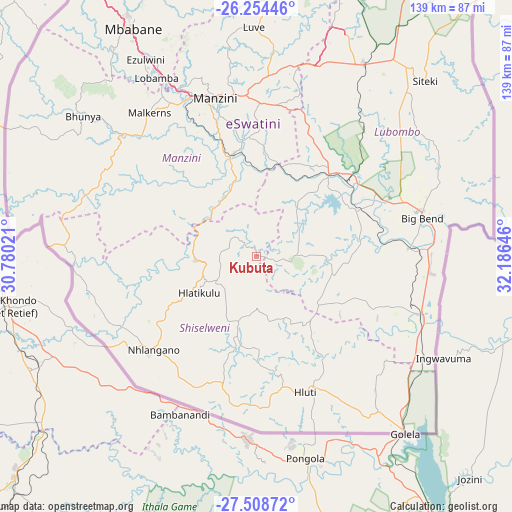
Kubuta GPS coordinates[2]
26° 52' 59.988" South, 31° 28' 59.988" East
| Map corner | latitude | longitude |
|---|---|---|
| Upper-left | -26.25446°, | 30.78021° |
| Center: | -26.88333°, | 31.48333° |
| Lower-right: | -27.50872°, | 32.18646° |
| Map W x H: | 139.5×139.5 km | = 86.7×86.7mi |
| max Lat: | -25.82659° ⇑77.3% North |
| Kubuta: | -26.88333° |
| min Lat: | ⇓22.7% South -27.31005° |
| min Long | Kubuta | max Long |
| 31.01667° | 31.48333° | 31.95° |
| W 63.6%⇐ | ⇒36.4% E |
Elevation
Elevation of Kubuta is 490 m = 1608 ft, and this is 188.5 m = 618 ft below average elevation for this country.
| Max E: |
1317 m = 4321 ft | 68.2% |
| Avg. | 678.5 m = 2226 ft | |
| Kubuta | 490 m = 1608 ft | |
Min E: |
109 m = 358 ft | 31.8% |
See also: Eswatini elevation on elevation.city.
Geographical zone
Kubuta is located in South temperate zone (between Tropic of Capricorn and the Antarctic Circle). Distance of this Southern Tropic circle is 383.2 km =238.1 mi to North.| Distance of | km | miles | from Kubuta |
|---|---|---|---|
| Equator | 2989.1 | 1857.3 | to North |
| Tropic Capricorn | 383.2 | 238.1 | to North |
| Antarctic Circle | 4412 | 2741.5 | to South |
| South Pole | 7017.9 | 4360.7 | to South |


Nearby cities:
15 places around Kubuta: (largest is in red/bold)
• Bhunya
59.3 km =36.8 mi,  308°
308°
• Big Bend
45.3 km =28.1 mi,  80°
80°
• Hlatikulu
19 km =11.8 mi,  235°
235°
• Hluti
39.3 km =24.4 mi,  160°
160°
• Kwaluseni
46.9 km =29.1 mi,  341°
341°
• Lavumisa
62.3 km =38.7 mi,  139°
139°
• Lobamba
54.2 km =33.7 mi,  328°
328°
• Malkerns
46.1 km =28.6 mi,  319°
319°
• Manzini
44 km =27.3 mi,  346°
346°
• Mbabane
72 km =44.7 mi, 331°
• Mhlambanyatsi
66.9 km =41.6 mi, 316°
• Nhlangano
38 km =23.6 mi,  227°
227°
• Nsoko
49.2 km =30.6 mi,  109°
109°
• Sidvokodvo
29.1 km =18.1 mi, 347°
• Siteki
66.5 km =41.3 mi,  43°
43°
Sources, notices
• [Note1] Compared only with cities in Eswatini existing in our database
• [Src1] Map data: © OpenStreetMap contributors (CC-BY-SA)
• [Src2] Other city data from geonames.org with taken over terms of usage.
• [Src3] Geographical zone / Annual Mean Temperature by Robert A. Rohde @ Wikipedia
