Manzini geodata
Manzini is a seat of a first-order administrative division; located in Eswatini in Africa/Mbabane (GMT+2) time zone. With population of 110,537 people, there are 0 cities with bigger population in this country. Compared to other cities in Eswatini, 54.5% of cities are located further ↑North; 54.5% of cities are located further ←West and 54.5% of cities have higher elevation than Manzini. Note1


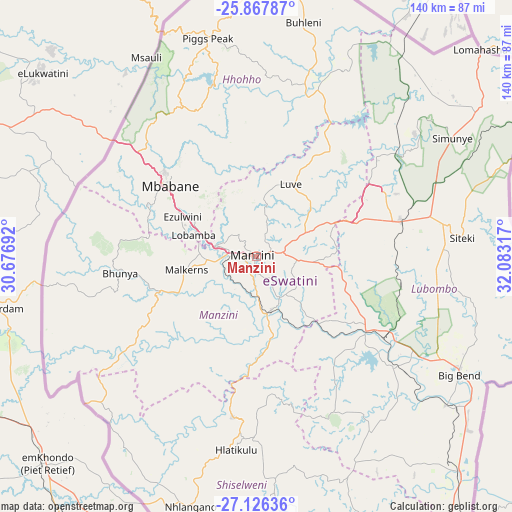
Manzini GPS coordinates[2]
26° 29' 55.824" South, 31° 22' 48.144" East
| Map corner | latitude | longitude |
|---|---|---|
| Upper-left | -25.86787°, | 30.67692° |
| Center: | -26.49884°, | 31.38004° |
| Lower-right: | -27.12636°, | 32.08317° |
| Map W x H: | 139.9×139.9 km | = 86.9×86.9mi |
| max Lat: | -25.82659° ⇑54.5% North |
| Manzini: | -26.49884° |
| min Lat: | ⇓45.5% South -27.31005° |
| min Long | Manzini | max Long |
| 31.01667° | 31.38004° | 31.95° |
| W 54.5%⇐ | ⇒45.5% E |
Elevation
Elevation of Manzini is 601 m = 1972 ft, and this is 77.5 m = 254 ft below average elevation for this country.
| Max E: |
1317 m = 4321 ft | 54.5% |
| Avg. | 678.5 m = 2226 ft | |
| Manzini | 601 m = 1972 ft | |
Min E: |
109 m = 358 ft | 45.5% |
See also: Manzini elevation on elevation.city.
Geographical zone
Manzini is located in South temperate zone (between Tropic of Capricorn and the Antarctic Circle). Distance of this Southern Tropic circle is 340.5 km =211.6 mi to North.| Distance of | km | miles | from Manzini |
|---|---|---|---|
| Equator | 2946.4 | 1830.8 | to North |
| Tropic Capricorn | 340.5 | 211.6 | to North |
| Antarctic Circle | 4454.8 | 2768.1 | to South |
| South Pole | 7060.7 | 4387.3 | to South |


Nearby cities:
15 places around Manzini: (largest is in red/bold)
• Bhunya
36.6 km =22.7 mi,  261°
261°
• Big Bend
65.4 km =40.6 mi,  122°
122°
• Bulembu
64.1 km =39.8 mi,  337°
337°
• Darkton
45.4 km =28.2 mi,  310°
310°
• Hlatikulu
53.7 km =33.4 mi,  185°
185°
• Kubuta
44 km =27.3 mi,  166°
166°
• Kwaluseni
5 km =3.1 mi,  290°
290°
• Lobamba
18.3 km =11.4 mi,  281°
281°
• Malkerns
21 km =13 mi,  248°
248°
• Mbabane
31.8 km =19.8 mi, 309°
• Mhlambanyatsi
36.6 km =22.7 mi, 278°
• Piggs Peak
61.3 km =38.1 mi,  347°
347°
• Sidvokodvo
14.9 km =9.3 mi,  164°
164°
• Siteki
56.7 km =35.2 mi,  84°
84°
• Tshaneni
66.4 km =41.3 mi,  30°
30°
Sources, notices
• [Note1] Compared only with cities in Eswatini existing in our database
• [Src1] Map data: © OpenStreetMap contributors (CC-BY-SA)
• [Src2] Other city data from geonames.org with taken over terms of usage.
• [Src3] Geographical zone / Annual Mean Temperature by Robert A. Rohde @ Wikipedia
