Nsoko geodata
Nsoko (Lubombo) is a populated place; located in Eswatini in Africa/Mbabane (GMT+2) time zone. With population of 1,175 people, there are 21 cities with bigger population in this country. Compared to other cities in Eswatini, 86.4% of cities are located further ↑North; 100% of cities are located further ←West and 95.5% of cities have higher elevation than Nsoko. Note1


Nsoko GPS coordinates[2]
27° 1' 59.988" South, 31° 57' 0" East
| Map corner | latitude | longitude |
|---|---|---|
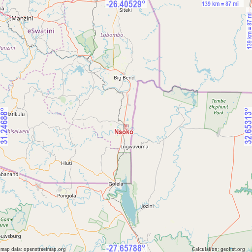
| Upper-left | -26.40529°, | 31.24688° |
| Center: | -27.03333°, | 31.95° |
| Lower-right: | -27.65788°, | 32.65313° |
| Map W x H: | 139.3×139.3 km | = 86.6×86.6mi |
| max Lat: | -25.82659° ⇑86.4% North |
| Nsoko: | -27.03333° |
| min Lat: | ⇓13.6% South -27.31005° |
| min Long | Nsoko | max Long |
| 31.01667° | 31.95° | 31.95° |
| W 100%⇐ | ⇒0% E |
Elevation
Elevation of Nsoko is 178 m = 584 ft, and this is 500.5 m = 1642 ft below average elevation for this country.
| Max E: |
1317 m = 4321 ft | 95.5% |
| Avg. | 678.5 m = 2226 ft | |
| Nsoko | 178 m = 584 ft | |
Min E: |
109 m = 358 ft | 4.5% |
See also: Eswatini elevation on elevation.city.
Geographical zone
Nsoko is located in South temperate zone (between Tropic of Capricorn and the Antarctic Circle). Distance of this Southern Tropic circle is 399.9 km =248.5 mi to North.| Distance of | km | miles | from Nsoko |
|---|---|---|---|
| Equator | 3005.8 | 1867.7 | to North |
| Tropic Capricorn | 399.9 | 248.5 | to North |
| Antarctic Circle | 4395.3 | 2731.1 | to South |
| South Pole | 7001.2 | 4350.3 | to South |


Nearby cities:
15 places around Nsoko: (largest is in red/bold)
• Bhunya
107.1 km =66.5 mi,  300°
300°
• Big Bend
24.1 km =15 mi,  356°
356°
• Hlatikulu
62.3 km =38.7 mi,  275°
275°
• Hluti
38.8 km =24.1 mi,  238°
238°
• Kubuta
49.2 km =30.6 mi,  289°
289°
• Kwaluseni
86.5 km =53.7 mi,  314°
314°
• Lavumisa
31.3 km =19.4 mi,  190°
190°
• Lobamba
97.5 km =60.6 mi, 310°
• Malkerns
92.1 km =57.2 mi, 304°
• Manzini
82.1 km =51 mi,  316°
316°
• Mhlume
111.6 km =69.3 mi,  354°
354°
• Nhlangano
74.9 km =46.5 mi,  263°
263°
• Sidvokodvo
69.2 km =43 mi, 310°
• Siteki
64.6 km =40.1 mi, 359°
• Vuvulane
106.9 km =66.4 mi, 356°
Sources, notices
• [Note1] Compared only with cities in Eswatini existing in our database
• [Src1] Map data: © OpenStreetMap contributors (CC-BY-SA)
• [Src2] Other city data from geonames.org with taken over terms of usage.
• [Src3] Geographical zone / Annual Mean Temperature by Robert A. Rohde @ Wikipedia
