Suk Samran geodata
Suk Samran (Ranong) is a seat of a second-order administrative division; located in Thailand in Asia/Bangkok (GMT+7) time zone. In our database, there are 331 cities with bigger population. Compared to other cities in Thailand, 84% of cities are located further ↑North; 96.7% of cities are located further →East and 63.3% of cities have higher elevation than Suk Samran. Note1


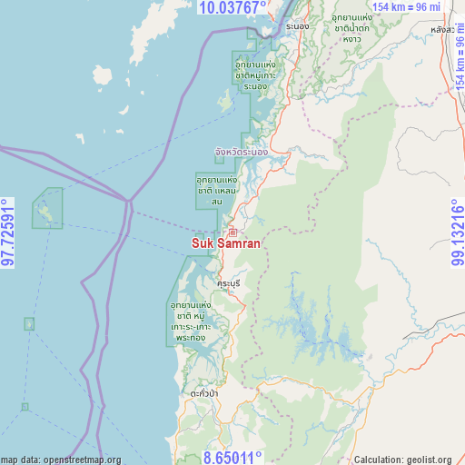
Suk Samran GPS coordinates[2]
9° 20' 40.488" North, 98° 25' 44.508" East
| Map corner | latitude | longitude |
|---|---|---|
| Upper-left | 10.03767°, | 97.72591° |
| Center: | 9.34458°, | 98.42903° |
| Lower-right: | 8.65011°, | 99.13216° |
| Map W x H: | 154.3×154.3 km | = 95.9×95.9mi |
| max Lat: | 20.43353° ⇑84% North |
| Suk Samran: | 9.34458° |
| min Lat: | ⇓16% South 5.77434° |
| min Long | Suk Samran | max Long |
| 97.93288° | 98.42903° | 105.49506° |
| W 3.3%⇐ | ⇒96.7% E |
Elevation
Elevation of Suk Samran is 36 m = 118 ft, and this is 89.5 m = 294 ft below average elevation for this country.
| Max E: |
1011 m = 3317 ft | 63.3% |
| Avg. | 125.5 m = 412 ft | |
| Suk Samran | 36 m = 118 ft | |
Min E: |
1 m = 3 ft | 36.7% |
See also: Thailand elevation on elevation.city.
Geographical zone
Suk Samran is located in North Torrid zone (between Equator and Tropic of Cancer). Distance of Equator is 1039 km =645.6 mi to South.| Distance of | km | miles | from Suk Samran |
|---|---|---|---|
| North Pole | 8968 | 5572.5 | to North |
| Arctic Circle | 6362.2 | 3953.3 | to North |
| Tropic Cancer | 1566.9 | 973.6 | to North |
| Equator | 1039 | 645.6 | to South |


Nearby cities:
15 places around Suk Samran: (largest is in red/bold)
• Ban Khao Lak
83.7 km =52 mi,  194°
194°
• Ban Nam Yuen
76.1 km =47.3 mi,  38°
38°
• Ban Takhun
70 km =43.5 mi,  134°
134°
• Chaiya
84.6 km =52.6 mi,  86°
86°
• Kapoe
32.4 km =20.1 mi,  34°
34°
• Kapong
72 km =44.7 mi,  181°
181°
• Khura Buri
16.8 km =10.4 mi, 185°
• Phanom
68.9 km =42.8 mi,  142°
142°
• Phato
62.6 km =38.9 mi, 37°
• Ranong
72.7 km =45.2 mi,  18°
18°
• Takua Pa
53.5 km =33.2 mi, 190°
• Takuk Nuea
61.4 km =38.2 mi,  101°
101°
• Tha Chana
84.7 km =52.6 mi,  72°
72°
• Tha Chang
84.2 km =52.3 mi, 96°
• Tha Khanon
67.3 km =41.8 mi,  121°
121°
Sources, notices
• [Note1] Compared only with cities in Thailand existing in our database
• [Src1] Map data: © OpenStreetMap contributors (CC-BY-SA)
• [Src2] Other city data from geonames.org with taken over terms of usage.
• [Src3] Geographical zone / Annual Mean Temperature by Robert A. Rohde @ Wikipedia
