Ban Takhun geodata
Ban Takhun (Surat Thani) is a seat of a second-order administrative division; located in Thailand in Asia/Bangkok (GMT+7) time zone. In our database, there are 331 cities with bigger population. Compared to other cities in Thailand, 85% of cities are located further ↑North; 93.1% of cities are located further →East and 66.4% of cities have higher elevation than Ban Takhun. Note1


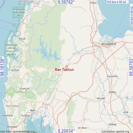
Ban Takhun GPS coordinates[2]
8° 54' 13.104" North, 98° 53' 4.2" East
| Map corner | latitude | longitude |
|---|---|---|
| Upper-left | 9.59762°, | 98.18138° |
| Center: | 8.90364°, | 98.8845° |
| Lower-right: | 8.20834°, | 99.58763° |
| Map W x H: | 154.5×154.5 km | = 96×96mi |
| max Lat: | 20.43353° ⇑85% North |
| Ban Takhun: | 8.90364° |
| min Lat: | ⇓15% South 5.77434° |
| min Long | Ban Takhun | max Long |
| 97.93288° | 98.8845° | 105.49506° |
| W 6.9%⇐ | ⇒93.1% E |
Elevation
Elevation of Ban Takhun is 29 m = 95 ft, and this is 96.5 m = 317 ft below average elevation for this country.
| Max E: |
1011 m = 3317 ft | 66.4% |
| Avg. | 125.5 m = 412 ft | |
| Ban Takhun | 29 m = 95 ft | |
Min E: |
1 m = 3 ft | 33.6% |
See also: Thailand elevation on elevation.city.
Geographical zone
Ban Takhun is located in North Torrid zone (between Equator and Tropic of Cancer). Distance of Equator is 990 km =615.2 mi to South.| Distance of | km | miles | from Ban Takhun |
|---|---|---|---|
| North Pole | 9017.1 | 5603 | to North |
| Arctic Circle | 6411.2 | 3983.7 | to North |
| Tropic Cancer | 1615.9 | 1004.1 | to North |
| Equator | 990 | 615.2 | to South |


Nearby cities:
15 places around Ban Takhun: (largest is in red/bold)
• Ban Na Doem
46.8 km =29.1 mi,  92°
92°
• Ban Na San
53.9 km =33.5 mi,  102°
102°
• Chai Buri
53.4 km =33.2 mi,  156°
156°
• Kapong
57.1 km =35.5 mi,  246°
246°
• Khian Sa
35.2 km =21.9 mi, 101°
• Phanom
9.6 km =6 mi,  235°
235°
• Phrasaeng
54.6 km =33.9 mi,  133°
133°
• Plai Phraya
41.3 km =25.7 mi,  183°
183°
• Surat Thani
55.8 km =34.7 mi,  61°
61°
• Takua Pa
59.5 km =37 mi,  266°
266°
• Takuk Nuea
38.7 km =24 mi,  15°
15°
• Tha Chang
52.4 km =32.6 mi,  40°
40°
• Tha Kham
44.6 km =27.7 mi, 58°
• Tha Khanon
15.9 km =9.9 mi,  28°
28°
• Thap Put
50.8 km =31.6 mi,  211°
211°
Sources, notices
• [Note1] Compared only with cities in Thailand existing in our database
• [Src1] Map data: © OpenStreetMap contributors (CC-BY-SA)
• [Src2] Other city data from geonames.org with taken over terms of usage.
• [Src3] Geographical zone / Annual Mean Temperature by Robert A. Rohde @ Wikipedia
