Bung Khla geodata
Bung Khla (Changwat Bueng Kan) is a seat of a second-order administrative division; located in Thailand in Asia/Bangkok (GMT+7) time zone. In our database, there are 331 cities with bigger population. Compared to other cities in Thailand, 91.4% of cities are located further ↓South; 90% of cities are located further ←West and 62.6% of cities have lower elevation than Bung Khla. Note1


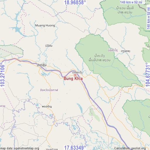
Bung Khla GPS coordinates[2]
18° 18' 8.352" North, 103° 58' 27.048" East
| Map corner | latitude | longitude |
|---|---|---|
| Upper-left | 18.96858°, | 103.27106° |
| Center: | 18.30232°, | 103.97418° |
| Lower-right: | 17.63349°, | 104.67731° |
| Map W x H: | 148.4×148.5 km | = 92.2×92.3mi |
| max Lat: | 20.43353° ⇑8.6% North |
| Bung Khla: | 18.30232° |
| min Lat: | ⇓91.4% South 5.77434° |
| min Long | Bung Khla | max Long |
| 97.93288° | 103.97418° | 105.49506° |
| W 90%⇐ | ⇒10% E |
Elevation
Elevation of Bung Khla is 155 m = 509 ft, and this is 29.5 m = 97 ft above average elevation for this country.
| Max E: |
1011 m = 3317 ft | 37.4% |
| Bung Khla | 155 m 509 ft | |
| Avg. | 125.5 m = 412 ft | |
Min E: |
1 m = 3 ft | 62.6% |
See also: Thailand elevation on elevation.city.
Geographical zone
Bung Khla is located in North Torrid zone (between Equator and Tropic of Cancer). Distance of this Northern Tropic circle is 570.9 km =354.7 mi to North.| Distance of | km | miles | from Bung Khla |
|---|---|---|---|
| North Pole | 7972 | 4953.6 | to North |
| Arctic Circle | 5366.1 | 3334.3 | to North |
| Tropic Cancer | 570.9 | 354.7 | to North |
| Equator | 2035 | 1264.5 | to South |


Nearby cities:
15 places around Bung Khla: (largest is in red/bold)
• Ban Muang
66 km =41 mi,  220°
220°
• Ban Phaeng
45.3 km =28.1 mi,  145°
145°
• Bueng Kan
34.7 km =21.6 mi,  281°
281°
• Bueng Khong Long
38.7 km =24 mi,  168°
168°
• Fao Rai
77.6 km =48.2 mi,  245°
245°
• Kham Ta Kla
55.1 km =34.2 mi,  204°
204°
• Na Thom
58.8 km =36.5 mi, 167°
• Nathom
58.8 km =36.5 mi, 167°
• Pak Khat
70.7 km =43.9 mi,  270°
270°
• Pakkhat
70.4 km =43.7 mi, 269°
• Phon Charoen
41.1 km =25.5 mi, 222°
• Seka
41.6 km =25.8 mi,  182°
182°
• Si Wilai
27.4 km =17 mi,  240°
240°
• So Phisai
61.4 km =38.2 mi, 245°
• Wanon Niwat
77.9 km =48.4 mi, 197°
Sources, notices
• [Note1] Compared only with cities in Thailand existing in our database
• [Src1] Map data: © OpenStreetMap contributors (CC-BY-SA)
• [Src2] Other city data from geonames.org with taken over terms of usage.
• [Src3] Geographical zone / Annual Mean Temperature by Robert A. Rohde @ Wikipedia
