Long geodata
Long (Phrae) is a seat of a second-order administrative division; located in Thailand in Asia/Bangkok (GMT+7) time zone. With population of 11,802 people, there are 272 cities with bigger population in this country. Compared to other cities in Thailand, 89.9% of cities are located further ↓South; 78.5% of cities are located further →East and 56% of cities have lower elevation than Long. Note1


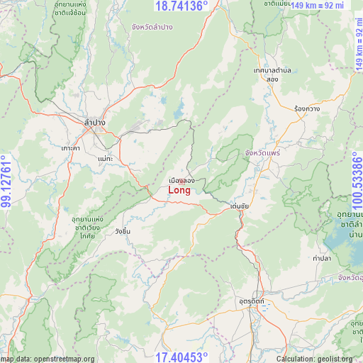
Long GPS coordinates[2]
18° 4' 27.192" North, 99° 49' 50.628" East
| Map corner | latitude | longitude |
|---|---|---|
| Upper-left | 18.74136°, | 99.12761° |
| Center: | 18.07422°, | 99.83073° |
| Lower-right: | 17.40453°, | 100.53386° |
| Map W x H: | 148.6×148.6 km | = 92.3×92.3mi |
| max Lat: | 20.43353° ⇑10.1% North |
| Long: | 18.07422° |
| min Lat: | ⇓89.9% South 5.77434° |
| min Long | Long | max Long |
| 97.93288° | 99.83073° | 105.49506° |
| W 21.5%⇐ | ⇒78.5% E |
Elevation
Elevation of Long is 139 m = 456 ft, and this is 13.5 m = 44 ft above average elevation for this country.
| Max E: |
1011 m = 3317 ft | 44% |
| Long | 139 m 456 ft | |
| Avg. | 125.5 m = 412 ft | |
Min E: |
1 m = 3 ft | 56% |
See also: Thailand elevation on elevation.city.
Geographical zone
Long is located in North Torrid zone (between Equator and Tropic of Cancer). Distance of this Northern Tropic circle is 596.3 km =370.5 mi to North.| Distance of | km | miles | from Long |
|---|---|---|---|
| North Pole | 7997.4 | 4969.4 | to North |
| Arctic Circle | 5391.5 | 3350.1 | to North |
| Tropic Cancer | 596.3 | 370.5 | to North |
| Equator | 2009.7 | 1248.8 | to South |


Nearby cities:
15 places around Long: (largest is in red/bold)
• Den Chai
25.5 km =15.8 mi,  113°
113°
• Hang Chat
58.5 km =36.4 mi,  298°
298°
• Ko Kha
47.9 km =29.8 mi,  285°
285°
• Lampang
43.2 km =26.8 mi, 304°
• Lap Lae
51.8 km =32.2 mi,  154°
154°
• Laplae
51.8 km =32.2 mi, 154°
• Mae Mo
29.4 km =18.3 mi,  319°
319°
• Mae Tha
34.1 km =21.2 mi,  281°
281°
• Nong Muang Khai
43.4 km =27 mi,  60°
60°
• Phrae
33.7 km =20.9 mi,  76°
76°
• Song
57.8 km =35.9 mi,  40°
40°
• Sop Prap
56.5 km =35.1 mi,  247°
247°
• Sung Men
30.1 km =18.7 mi,  95°
95°
• Uttaradit
57.2 km =35.5 mi, 150°
• Wang Chin
31.7 km =19.7 mi,  227°
227°
Sources, notices
• [Note1] Compared only with cities in Thailand existing in our database
• [Src1] Map data: © OpenStreetMap contributors (CC-BY-SA)
• [Src2] Other city data from geonames.org with taken over terms of usage.
• [Src3] Geographical zone / Annual Mean Temperature by Robert A. Rohde @ Wikipedia
