Mae Mo geodata
Mae Mo (Lampang) is a seat of a second-order administrative division; located in Thailand in Asia/Bangkok (GMT+7) time zone. In our database, there are 331 cities with bigger population. Compared to other cities in Thailand, 91% of cities are located further ↓South; 81.8% of cities are located further →East and 94.7% of cities have lower elevation than Mae Mo. Note1


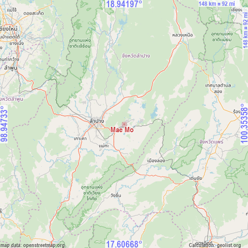
Mae Mo GPS coordinates[2]
18° 16' 32.196" North, 99° 39' 1.62" East
| Map corner | latitude | longitude |
|---|---|---|
| Upper-left | 18.94197°, | 98.94733° |
| Center: | 18.27561°, | 99.65045° |
| Lower-right: | 17.60668°, | 100.35358° |
| Map W x H: | 148.5×148.5 km | = 92.3×92.3mi |
| max Lat: | 20.43353° ⇑9% North |
| Mae Mo: | 18.27561° |
| min Lat: | ⇓91% South 5.77434° |
| min Long | Mae Mo | max Long |
| 97.93288° | 99.65045° | 105.49506° |
| W 18.2%⇐ | ⇒81.8% E |
Elevation
Elevation of Mae Mo is 388 m = 1273 ft, and this is 262.5 m = 861 ft above average elevation for this country.
| Max E: |
1011 m = 3317 ft | 5.3% |
| Mae Mo | 388 m 1273 ft | |
| Avg. | 125.5 m = 412 ft | |
Min E: |
1 m = 3 ft | 94.7% |
See also: Thailand elevation on elevation.city.
Geographical zone
Mae Mo is located in North Torrid zone (between Equator and Tropic of Cancer). Distance of this Northern Tropic circle is 573.9 km =356.6 mi to North.| Distance of | km | miles | from Mae Mo |
|---|---|---|---|
| North Pole | 7975 | 4955.4 | to North |
| Arctic Circle | 5369.1 | 3336.2 | to North |
| Tropic Cancer | 573.9 | 356.6 | to North |
| Equator | 2032.1 | 1262.7 | to South |


Nearby cities:
15 places around Mae Mo: (largest is in red/bold)
• Chae Hom
49.6 km =30.8 mi,  348°
348°
• Den Chai
53.4 km =33.2 mi,  127°
127°
• Hang Chat
32.7 km =20.3 mi,  280°
280°
• Ko Kha
28.6 km =17.8 mi,  251°
251°
• Lampang
16.8 km =10.4 mi, 276°
• Long
29.4 km =18.3 mi,  139°
139°
• Mae Tha
21.3 km =13.2 mi,  222°
222°
• Mae Tha
57.8 km =35.9 mi,  291°
291°
• Mueang Pan
56.9 km =35.4 mi,  344°
344°
• Nong Muang Khai
56.9 km =35.4 mi,  91°
91°
• Phrae
53.8 km =33.4 mi,  105°
105°
• Soem Ngam
48.8 km =30.3 mi,  241°
241°
• Sop Prap
55 km =34.2 mi, 217°
• Sung Men
55.1 km =34.2 mi,  117°
117°
• Wang Chin
44.2 km =27.5 mi,  185°
185°
Sources, notices
• [Note1] Compared only with cities in Thailand existing in our database
• [Src1] Map data: © OpenStreetMap contributors (CC-BY-SA)
• [Src2] Other city data from geonames.org with taken over terms of usage.
• [Src3] Geographical zone / Annual Mean Temperature by Robert A. Rohde @ Wikipedia
