Bo Phloi geodata
Bo Phloi (Kanchanaburi) is a seat of a second-order administrative division; located in Thailand in Asia/Bangkok (GMT+7) time zone. With population of 16,786 people, there are 194 cities with bigger population in this country. Compared to other cities in Thailand, 62.1% of cities are located further ↑North; 85% of cities are located further →East and 50.2% of cities have lower elevation than Bo Phloi. Note1


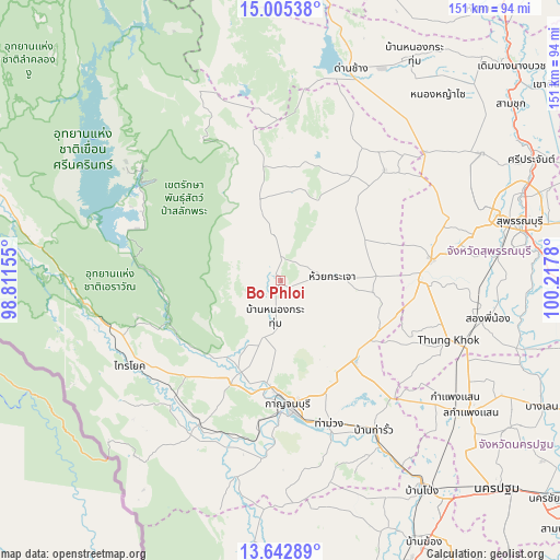
Bo Phloi GPS coordinates[2]
14° 19' 30.612" North, 99° 30' 52.812" East
| Map corner | latitude | longitude |
|---|---|---|
| Upper-left | 15.00538°, | 98.81155° |
| Center: | 14.32517°, | 99.51467° |
| Lower-right: | 13.64289°, | 100.2178° |
| Map W x H: | 151.5×151.5 km | = 94.1×94.1mi |
| max Lat: | 20.43353° ⇑62.1% North |
| Bo Phloi: | 14.32517° |
| min Lat: | ⇓37.9% South 5.77434° |
| min Long | Bo Phloi | max Long |
| 97.93288° | 99.51467° | 105.49506° |
| W 15%⇐ | ⇒85% E |
Elevation
Elevation of Bo Phloi is 96 m = 315 ft, and this is 29.5 m = 97 ft below average elevation for this country.
| Max E: |
1011 m = 3317 ft | 49.8% |
| Avg. | 125.5 m = 412 ft | |
| Bo Phloi | 96 m = 315 ft | |
Min E: |
1 m = 3 ft | 50.2% |
See also: Thailand elevation on elevation.city.
Geographical zone
Bo Phloi is located in North Torrid zone (between Equator and Tropic of Cancer). Distance of this Northern Tropic circle is 1013.1 km =629.5 mi to North.| Distance of | km | miles | from Bo Phloi |
|---|---|---|---|
| North Pole | 8414.3 | 5228.4 | to North |
| Arctic Circle | 5808.4 | 3609.2 | to North |
| Tropic Cancer | 1013.1 | 629.5 | to North |
| Equator | 1592.8 | 989.7 | to South |


Nearby cities:
15 places around Bo Phloi: (largest is in red/bold)
• Dan Chang
60.7 km =37.7 mi,  18°
18°
• Dan Makham Tia
53.6 km =33.3 mi,  192°
192°
• Huai Krachao
16.5 km =10.3 mi,  89°
89°
• Kamphaeng Saen
62.7 km =39 mi,  125°
125°
• Kanchanaburi
35.9 km =22.3 mi,  174°
174°
• Lao Khwan
41 km =25.5 mi,  42°
42°
• Nong Prue
32 km =19.9 mi,  348°
348°
• Phanom Thuan
29.4 km =18.3 mi,  137°
137°
• Sai Yok
46.2 km =28.7 mi,  240°
240°
• Si Sawat
52.8 km =32.8 mi,  305°
305°
• Song Phi Nong
55.7 km =34.6 mi,  101°
101°
• Tha Maka
52.5 km =32.6 mi,  148°
148°
• Tha Maka
54.5 km =33.9 mi, 150°
• Tha Muang
42.7 km =26.5 mi,  161°
161°
• U Thong
41.1 km =25.5 mi,  82°
82°
Sources, notices
• [Note1] Compared only with cities in Thailand existing in our database
• [Src1] Map data: © OpenStreetMap contributors (CC-BY-SA)
• [Src2] Other city data from geonames.org with taken over terms of usage.
• [Src3] Geographical zone / Annual Mean Temperature by Robert A. Rohde @ Wikipedia
