Song Phi Nong geodata
Song Phi Nong (Suphan Buri) is a seat of a second-order administrative division; located in Thailand in Asia/Bangkok (GMT+7) time zone. In our database, there are 331 cities with bigger population. Compared to other cities in Thailand, 62.6% of cities are located further ↑North; 72% of cities are located further →East and 94.4% of cities have higher elevation than Song Phi Nong. Note1


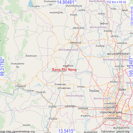
Song Phi Nong GPS coordinates[2]
14° 13' 26.688" North, 100° 1' 15.384" East
| Map corner | latitude | longitude |
|---|---|---|
| Upper-left | 14.90461°, | 99.31782° |
| Center: | 14.22408°, | 100.02094° |
| Lower-right: | 13.5415°, | 100.72407° |
| Map W x H: | 151.6×151.6 km | = 94.2×94.2mi |
| max Lat: | 20.43353° ⇑62.6% North |
| Song Phi Nong: | 14.22408° |
| min Lat: | ⇓37.4% South 5.77434° |
| min Long | Song Phi Nong | max Long |
| 97.93288° | 100.02094° | 105.49506° |
| W 28%⇐ | ⇒72% E |
Elevation
Elevation of Song Phi Nong is 7 m = 23 ft, and this is 118.5 m = 389 ft below average elevation for this country.
| Max E: |
1011 m = 3317 ft | 94.4% |
| Avg. | 125.5 m = 412 ft | |
| Song Phi Nong | 7 m = 23 ft | |
Min E: |
1 m = 3 ft | 5.6% |
See also: Thailand elevation on elevation.city.
Geographical zone
Song Phi Nong is located in North Torrid zone (between Equator and Tropic of Cancer). Distance of this Northern Tropic circle is 1024.3 km =636.5 mi to North.| Distance of | km | miles | from Song Phi Nong |
|---|---|---|---|
| North Pole | 8425.5 | 5235.4 | to North |
| Arctic Circle | 5819.6 | 3616.1 | to North |
| Tropic Cancer | 1024.3 | 636.5 | to North |
| Equator | 1581.6 | 982.8 | to South |


Nearby cities:
15 places around Song Phi Nong: (largest is in red/bold)
• Bang Len
27.8 km =17.3 mi,  144°
144°
• Bang Pla Ma
24.2 km =15 mi,  37°
37°
• Bang Sai
32.9 km =20.4 mi,  68°
68°
• Don Tum
29.9 km =18.6 mi,  167°
167°
• Huai Krachao
39.8 km =24.7 mi,  286°
286°
• Kamphaeng Saen
25.2 km =15.7 mi,  187°
187°
• Lat Bua Luang
31.6 km =19.6 mi,  101°
101°
• Nakhon Pathom
45 km =28 mi,  176°
176°
• Phanom Thuan
36.3 km =22.6 mi,  253°
253°
• Sai Noi
41.6 km =25.8 mi,  130°
130°
• Sena
42.9 km =26.7 mi, 74°
• Suphan Buri
29.9 km =18.6 mi,  21°
21°
• Tha Maka
43.5 km =27 mi,  219°
219°
• Tha Maka
45.3 km =28.1 mi, 217°
• U Thong
21.8 km =13.5 mi,  320°
320°
Sources, notices
• [Note1] Compared only with cities in Thailand existing in our database
• [Src1] Map data: © OpenStreetMap contributors (CC-BY-SA)
• [Src2] Other city data from geonames.org with taken over terms of usage.
• [Src3] Geographical zone / Annual Mean Temperature by Robert A. Rohde @ Wikipedia
