Na Muen geodata
Na Muen (Nan) is a seat of a second-order administrative division; located in Thailand in Asia/Bangkok (GMT+7) time zone. In our database, there are 331 cities with bigger population. Compared to other cities in Thailand, 90.5% of cities are located further ↓South; 52.3% of cities are located further →East and 93.4% of cities have lower elevation than Na Muen. Note1


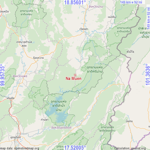
Na Muen GPS coordinates[2]
18° 11' 21.516" North, 100° 39' 37.692" East
| Map corner | latitude | longitude |
|---|---|---|
| Upper-left | 18.85601°, | 99.95735° |
| Center: | 18.18931°, | 100.66047° |
| Lower-right: | 17.52005°, | 101.3636° |
| Map W x H: | 148.5×148.5 km | = 92.3×92.3mi |
| max Lat: | 20.43353° ⇑9.5% North |
| Na Muen: | 18.18931° |
| min Lat: | ⇓90.5% South 5.77434° |
| min Long | Na Muen | max Long |
| 97.93288° | 100.66047° | 105.49506° |
| W 47.7%⇐ | ⇒52.3% E |
Elevation
Elevation of Na Muen is 351 m = 1152 ft, and this is 225.5 m = 740 ft above average elevation for this country.
| Max E: |
1011 m = 3317 ft | 6.6% |
| Na Muen | 351 m 1152 ft | |
| Avg. | 125.5 m = 412 ft | |
Min E: |
1 m = 3 ft | 93.4% |
See also: Thailand elevation on elevation.city.
Geographical zone
Na Muen is located in North Torrid zone (between Equator and Tropic of Cancer). Distance of this Northern Tropic circle is 583.5 km =362.6 mi to North.| Distance of | km | miles | from Na Muen |
|---|---|---|---|
| North Pole | 7984.6 | 4961.4 | to North |
| Arctic Circle | 5378.7 | 3342.2 | to North |
| Tropic Cancer | 583.5 | 362.6 | to North |
| Equator | 2022.5 | 1256.7 | to South |


Nearby cities:
15 places around Na Muen: (largest is in red/bold)
• Ban Khok
46.7 km =29 mi,  112°
112°
• Den Chai
68.2 km =42.4 mi,  250°
250°
• Fak Tha
31.4 km =19.5 mi,  132°
132°
• Mae Charim
68 km =42.3 mi,  32°
32°
• Na Noi
16.3 km =10.1 mi,  20°
20°
• Nam Pat
51.3 km =31.9 mi,  177°
177°
• Nan
67.3 km =41.8 mi,  10°
10°
• Nong Muang Khai
50.4 km =31.3 mi,  279°
279°
• Phrae
55.1 km =34.2 mi,  264°
264°
• Phu Phiang
63.2 km =39.3 mi, 13°
• Rong Kwang
39.9 km =24.8 mi,  294°
294°
• Song
59.4 km =36.9 mi,  301°
301°
• Sung Men
59.7 km =37.1 mi, 254°
• Tha Pla
53.5 km =33.2 mi,  214°
214°
• Wiang Sa
46.3 km =28.8 mi, 10°
Sources, notices
• [Note1] Compared only with cities in Thailand existing in our database
• [Src1] Map data: © OpenStreetMap contributors (CC-BY-SA)
• [Src2] Other city data from geonames.org with taken over terms of usage.
• [Src3] Geographical zone / Annual Mean Temperature by Robert A. Rohde @ Wikipedia
