Siliana geodata
Siliana (Silyānah) is a seat of a first-order administrative division; located in Tunisia in Africa/Tunis (GMT+1) time zone. With population of 26,960 people, there are 49 cities with bigger population in this country. Compared to other cities in Tunisia, 57.3% of cities are located further ↓South; 74.8% of cities are located further →East and 88.1% of cities have lower elevation than Siliana. Note1


Siliana GPS coordinates[2]
36° 5' 5.892" North, 9° 22' 14.952" East
| Map corner | latitude | longitude |
|---|---|---|
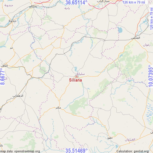
| Upper-left | 36.65114°, | 8.6677° |
| Center: | 36.08497°, | 9.37082° |
| Lower-right: | 35.51469°, | 10.07395° |
| Map W x H: | 126.4×126.4 km | = 78.5×78.5mi |
| max Lat: | 37.27442° ⇑42.7% North |
| Siliana: | 36.08497° |
| min Lat: | ⇓57.3% South 32.31662° |
| min Long | Siliana | max Long |
| 7.87765° | 9.37082° | 11.21965° |
| W 25.2%⇐ | ⇒74.8% E |
Elevation
Elevation of Siliana is 428 m = 1404 ft, and this is 278.6 m = 914 ft above average elevation for this country.
| Max E: |
999 m = 3278 ft | 11.9% |
| Siliana | 428 m 1404 ft | |
| Avg. | 149.4 m = 490 ft | |
Min E: |
-6 m = -20 ft | 88.1% |
See also: Tunisia elevation on elevation.city.
Geographical zone
Siliana is located in North temperate zone (between Tropic of Cancer and the Arctic Circle). Distance of this Northern Tropic circle is 1406.4 km =873.9 mi to South.| Distance of | km | miles | from Siliana |
|---|---|---|---|
| North Pole | 5994.8 | 3725 | to North |
| Arctic Circle | 3388.9 | 2105.8 | to North |
| Tropic Cancer | 1406.4 | 873.9 | to South |
| Equator | 4012.3 | 2493.1 | to South |


Nearby cities:
15 places around Siliana: (largest is in red/bold)
• As Sars
31.4 km =19.5 mi,  268°
268°
• Bou Arada
37.3 km =23.2 mi,  37°
37°
• El Fahs
57.8 km =35.9 mi,  56°
56°
• El Kef
60.6 km =37.7 mi,  279°
279°
• El Ksour
48.5 km =30.1 mi,  244°
244°
• Gafour
26.5 km =16.5 mi,  350°
350°
• Goubellat
57.2 km =35.5 mi,  27°
27°
• Haffouz
57.4 km =35.7 mi,  151°
151°
• Kesra
30.2 km =18.8 mi,  181°
181°
• Le Krib
34.3 km =21.3 mi,  322°
322°
• Maktar
29.5 km =18.3 mi,  211°
211°
• Nibbar
59 km =36.7 mi,  293°
293°
• Rohia
56.1 km =34.9 mi, 210°
• Tabursuq
42.8 km =26.6 mi, 345°
• Testour
52.3 km =32.5 mi,  7°
7°
Sources, notices
• [Note1] Compared only with cities in Tunisia existing in our database
• [Src1] Map data: © OpenStreetMap contributors (CC-BY-SA)
• [Src2] Other city data from geonames.org with taken over terms of usage.
• [Src3] Geographical zone / Annual Mean Temperature by Robert A. Rohde @ Wikipedia
