Bou Arada geodata
Bou Arada (Silyānah) is a populated place; located in Tunisia in Africa/Tunis (GMT+1) time zone. With population of 12,158 people, there are 81 cities with bigger population in this country. Compared to other cities in Tunisia, 61.5% of cities are located further ↓South; 71.3% of cities are located further →East and 79% of cities have lower elevation than Bou Arada. Note1


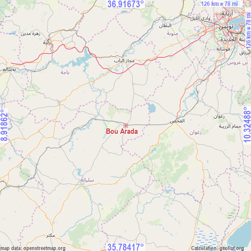
Bou Arada GPS coordinates[2]
36° 21' 9.036" North, 9° 37' 18.3" East
| Map corner | latitude | longitude |
|---|---|---|
| Upper-left | 36.91673°, | 8.91862° |
| Center: | 36.35251°, | 9.62175° |
| Lower-right: | 35.78417°, | 10.32488° |
| Map W x H: | 125.9×125.9 km | = 78.2×78.2mi |
| max Lat: | 37.27442° ⇑38.5% North |
| Bou Arada: | 36.35251° |
| min Lat: | ⇓61.5% South 32.31662° |
| min Long | Bou Arada | max Long |
| 7.87765° | 9.62175° | 11.21965° |
| W 28.7%⇐ | ⇒71.3% E |
Elevation
Elevation of Bou Arada is 246 m = 807 ft, and this is 96.6 m = 317 ft above average elevation for this country.
| Max E: |
999 m = 3278 ft | 21% |
| Bou Arada | 246 m 807 ft | |
| Avg. | 149.4 m = 490 ft | |
Min E: |
-6 m = -20 ft | 79% |
See also: Tunisia elevation on elevation.city.
Geographical zone
Bou Arada is located in North temperate zone (between Tropic of Cancer and the Arctic Circle). Distance of this Northern Tropic circle is 1436.1 km =892.4 mi to South.| Distance of | km | miles | from Bou Arada |
|---|---|---|---|
| North Pole | 5965 | 3706.5 | to North |
| Arctic Circle | 3359.2 | 2087.3 | to North |
| Tropic Cancer | 1436.1 | 892.4 | to South |
| Equator | 4042 | 2511.6 | to South |


Nearby cities:
15 places around Bou Arada: (largest is in red/bold)
• As Sars
62 km =38.5 mi,  240°
240°
• Béja
57.2 km =35.5 mi,  316°
316°
• El Battan
54 km =33.6 mi,  21°
21°
• El Fahs
25.6 km =15.9 mi,  84°
84°
• Gafour
26.9 km =16.7 mi,  262°
262°
• Goubellat
21.4 km =13.3 mi,  10°
10°
• Kesra
64.2 km =39.9 mi,  201°
201°
• La Mohammedia
59.7 km =37.1 mi,  53°
53°
• Le Krib
43.6 km =27.1 mi,  266°
266°
• Medjez el Bab
33 km =20.5 mi,  358°
358°
• Sbikha
58.8 km =36.5 mi,  142°
142°
• Siliana
37.3 km =23.2 mi,  217°
217°
• Tabursuq
35.4 km =22 mi,  289°
289°
• Testour
27.3 km =17 mi, 324°
• Zaghouan
47 km =29.2 mi, 83°
Sources, notices
• [Note1] Compared only with cities in Tunisia existing in our database
• [Src1] Map data: © OpenStreetMap contributors (CC-BY-SA)
• [Src2] Other city data from geonames.org with taken over terms of usage.
• [Src3] Geographical zone / Annual Mean Temperature by Robert A. Rohde @ Wikipedia
