Er Regueb geodata
Er Regueb (Sīdī Bū Zayd) is a populated place; located in Tunisia in Africa/Tunis (GMT+1) time zone. With population of 6,702 people, there are 104 cities with bigger population in this country. Compared to other cities in Tunisia, 78.3% of cities are located further ↑North; 66.4% of cities are located further →East and 76.2% of cities have lower elevation than Er Regueb. Note1


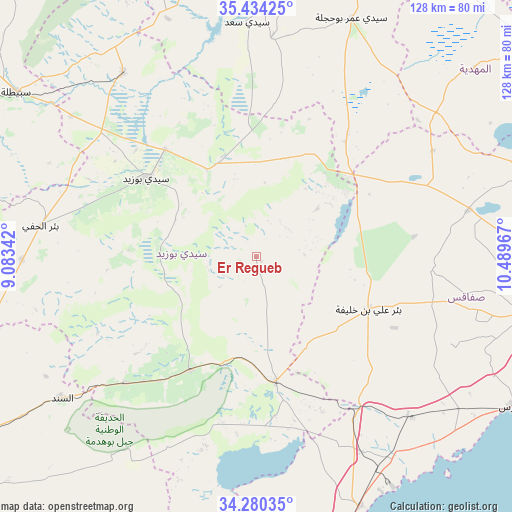
Er Regueb GPS coordinates[2]
34° 51' 33.552" North, 9° 47' 11.544" East
| Map corner | latitude | longitude |
|---|---|---|
| Upper-left | 35.43425°, | 9.08342° |
| Center: | 34.85932°, | 9.78654° |
| Lower-right: | 34.28035°, | 10.48967° |
| Map W x H: | 128.3×128.3 km | = 79.7×79.7mi |
| max Lat: | 37.27442° ⇑78.3% North |
| Er Regueb: | 34.85932° |
| min Lat: | ⇓21.7% South 32.31662° |
| min Long | Er Regueb | max Long |
| 7.87765° | 9.78654° | 11.21965° |
| W 33.6%⇐ | ⇒66.4% E |
Elevation
Elevation of Er Regueb is 195 m = 640 ft, and this is 45.6 m = 150 ft above average elevation for this country.
| Max E: |
999 m = 3278 ft | 23.8% |
| Er Regueb | 195 m 640 ft | |
| Avg. | 149.4 m = 490 ft | |
Min E: |
-6 m = -20 ft | 76.2% |
See also: Tunisia elevation on elevation.city.
Geographical zone
Er Regueb is located in North temperate zone (between Tropic of Cancer and the Arctic Circle). Distance of this Northern Tropic circle is 1270.1 km =789.2 mi to South.| Distance of | km | miles | from Er Regueb |
|---|---|---|---|
| North Pole | 6131.1 | 3809.7 | to North |
| Arctic Circle | 3525.2 | 2190.5 | to North |
| Tropic Cancer | 1270.1 | 789.2 | to South |
| Equator | 3876 | 2408.4 | to South |


Nearby cities:
15 places around Er Regueb: (largest is in red/bold)
• As Sanad
65 km =40.4 mi,  227°
227°
• Bir Ali Ben Khalifa
31.1 km =19.3 mi,  116°
116°
• Bir el Hafey
54.7 km =34 mi,  278°
278°
• Chorbane
72.3 km =44.9 mi,  48°
48°
• El Jem
97.8 km =60.8 mi,  59°
59°
• Gremda
91.8 km =57 mi,  97°
97°
• Haffouz
86.5 km =53.7 mi,  353°
353°
• Jilma
56.6 km =35.2 mi,  324°
324°
• Kairouan
95.3 km =59.2 mi,  17°
17°
• Kasserine
93.1 km =57.8 mi,  291°
291°
• Mezzouna
31.7 km =19.7 mi,  170°
170°
• Sbiba
99.9 km =62.1 mi, 319°
• Sfax
89.9 km =55.9 mi, 98°
• Sidi Bouzid
33.9 km =21.1 mi,  305°
305°
• Skhira
67.5 km =41.9 mi,  157°
157°
Sources, notices
• [Note1] Compared only with cities in Tunisia existing in our database
• [Src1] Map data: © OpenStreetMap contributors (CC-BY-SA)
• [Src2] Other city data from geonames.org with taken over terms of usage.
• [Src3] Geographical zone / Annual Mean Temperature by Robert A. Rohde @ Wikipedia
