Palandöken geodata
Palandöken (Erzurum) is a seat of a second-order administrative division; located in Turkey in Europe/Istanbul (GMT+3) time zone. In our database, there are 1323 cities with bigger population. Compared to other cities in Turkey, 67.1% of cities are located further ↓South; 83.9% of cities are located further ←West and 99% of cities have lower elevation than Palandöken. Note1


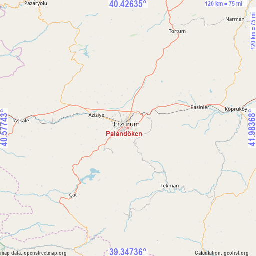
Palandöken GPS coordinates[2]
39° 53' 20.328" North, 41° 16' 49.98" East
| Map corner | latitude | longitude |
|---|---|---|
| Upper-left | 40.42635°, | 40.57743° |
| Center: | 39.88898°, | 41.28055° |
| Lower-right: | 39.34736°, | 41.98368° |
| Map W x H: | 120×120 km | = 74.6×74.6mi |
| max Lat: | 42.02683° ⇑32.9% North |
| Palandöken: | 39.88898° |
| min Lat: | ⇓67.1% South 35.9025° |
| min Long | Palandöken | max Long |
| 25.90902° | 41.28055° | 44.60099° |
| W 83.9%⇐ | ⇒16.1% E |
Elevation
Elevation of Palandöken is 1997 m = 6552 ft, and this is 1279.6 m = 4198 ft above average elevation for this country.
| Max E: |
2682 m = 8799 ft | 1% |
| Palandöken | 1997 m 6552 ft | |
| Avg. | 717.4 m = 2354 ft | |
Min E: |
0 m = 0 ft | 99% |
See also: Turkey elevation on elevation.city.
Geographical zone
Palandöken is located in North temperate zone (between Tropic of Cancer and the Arctic Circle). Distance of this Northern Tropic circle is 1829.3 km =1136.7 mi to South.| Distance of | km | miles | from Palandöken |
|---|---|---|---|
| North Pole | 5571.8 | 3462.2 | to North |
| Arctic Circle | 2965.9 | 1842.9 | to North |
| Tropic Cancer | 1829.3 | 1136.7 | to South |
| Equator | 4435.2 | 2755.9 | to South |


Nearby cities:
15 places around Palandöken: (largest is in red/bold)
• Aşkale
50.1 km =31.1 mi,  274°
274°
• Dadaşköy
6.6 km =4.1 mi,  340°
340°
• Dumlu
19.9 km =12.4 mi,  18°
18°
• Erzurum
2.2 km =1.4 mi,  351°
351°
• Gökoğlan
38.1 km =23.7 mi,  176°
176°
• Ilıca
17.1 km =10.6 mi,  292°
292°
• Kandilli
37.9 km =23.5 mi, 272°
• Kazımkarabekir
3 km =1.9 mi,  1°
1°
• Ovacık
42.2 km =26.2 mi,  325°
325°
• Pasinler
34.7 km =21.6 mi,  73°
73°
• Söylemez
46.7 km =29 mi,  107°
107°
• Tekman
33.6 km =20.9 mi,  145°
145°
• Tortum
49.7 km =30.9 mi,  26°
26°
• Yakutiye
1.4 km =0.9 mi,  316°
316°
• Çat
41.2 km =25.6 mi,  220°
220°
Sources, notices
• [Note1] Compared only with cities in Turkey existing in our database
• [Src1] Map data: © OpenStreetMap contributors (CC-BY-SA)
• [Src2] Other city data from geonames.org with taken over terms of usage.
• [Src3] Geographical zone / Annual Mean Temperature by Robert A. Rohde @ Wikipedia
