Murat geodata
Murat (Ağrı) is a seat of a third-order administrative division; located in Turkey in Europe/Istanbul (GMT+3) time zone. In our database, there are 1323 cities with bigger population. Compared to other cities in Turkey, 63.8% of cities are located further ↓South; 97.9% of cities are located further ←West and 95% of cities have lower elevation than Murat. Note1


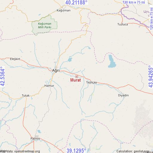
Murat GPS coordinates[2]
39° 40' 22.116" North, 43° 14' 22.272" East
| Map corner | latitude | longitude |
|---|---|---|
| Upper-left | 40.21188°, | 42.5364° |
| Center: | 39.67281°, | 43.23952° |
| Lower-right: | 39.1295°, | 43.94265° |
| Map W x H: | 120.3×120.3 km | = 74.8×74.8mi |
| max Lat: | 42.02683° ⇑36.2% North |
| Murat: | 39.67281° |
| min Lat: | ⇓63.8% South 35.9025° |
| min Long | Murat | max Long |
| 25.90902° | 43.23952° | 44.60099° |
| W 97.9%⇐ | ⇒2.1% E |
Elevation
Elevation of Murat is 1678 m = 5505 ft, and this is 960.6 m = 3152 ft above average elevation for this country.
| Max E: |
2682 m = 8799 ft | 5% |
| Murat | 1678 m 5505 ft | |
| Avg. | 717.4 m = 2354 ft | |
Min E: |
0 m = 0 ft | 95% |
See also: Turkey elevation on elevation.city.
Geographical zone
Murat is located in North temperate zone (between Tropic of Cancer and the Arctic Circle). Distance of this Northern Tropic circle is 1805.3 km =1121.8 mi to South.| Distance of | km | miles | from Murat |
|---|---|---|---|
| North Pole | 5595.9 | 3477.1 | to North |
| Arctic Circle | 2990 | 1857.9 | to North |
| Tropic Cancer | 1805.3 | 1121.8 | to South |
| Equator | 4411.2 | 2741 | to South |


Nearby cities:
15 places around Murat: (largest is in red/bold)
• Ağrı
16.9 km =10.5 mi,  287°
287°
• Cumaçay
27.3 km =17 mi,  350°
350°
• Dedeli
57.6 km =35.8 mi,  195°
195°
• Diyadin
39.8 km =24.7 mi,  111°
111°
• Eleşkirt
50.2 km =31.2 mi, 286°
• Gaziler
48.9 km =30.4 mi,  21°
21°
• Hamur
23 km =14.3 mi,  251°
251°
• Karakoyunlu
40 km =24.9 mi,  56°
56°
• Kağızman
54.5 km =33.9 mi, 350°
• Kötek
64 km =39.8 mi,  341°
341°
• Patnos
59.7 km =37.1 mi,  213°
213°
• Suluçem
49.3 km =30.6 mi,  87°
87°
• Taşlıçay
12.1 km =7.5 mi, 113°
• Tutak
43.2 km =26.8 mi, 249°
• Tuzluca
53.8 km =33.4 mi,  40°
40°
Sources, notices
• [Note1] Compared only with cities in Turkey existing in our database
• [Src1] Map data: © OpenStreetMap contributors (CC-BY-SA)
• [Src2] Other city data from geonames.org with taken over terms of usage.
• [Src3] Geographical zone / Annual Mean Temperature by Robert A. Rohde @ Wikipedia
