Suluçem geodata
Suluçem (Ağrı) is a seat of a third-order administrative division; located in Turkey in Europe/Istanbul (GMT+3) time zone. In our database, there are 1323 cities with bigger population. Compared to other cities in Turkey, 64.2% of cities are located further ↓South; 99.3% of cities are located further ←West and 96.3% of cities have lower elevation than Suluçem. Note1


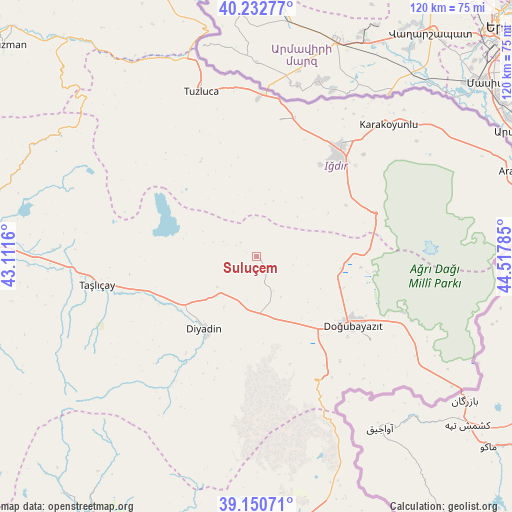
Suluçem GPS coordinates[2]
39° 41' 37.896" North, 43° 48' 52.992" East
| Map corner | latitude | longitude |
|---|---|---|
| Upper-left | 40.23277°, | 43.1116° |
| Center: | 39.69386°, | 43.81472° |
| Lower-right: | 39.15071°, | 44.51785° |
| Map W x H: | 120.3×120.3 km | = 74.8×74.8mi |
| max Lat: | 42.02683° ⇑35.8% North |
| Suluçem: | 39.69386° |
| min Lat: | ⇓64.2% South 35.9025° |
| min Long | Suluçem | max Long |
| 25.90902° | 43.81472° | 44.60099° |
| W 99.3%⇐ | ⇒0.7% E |
Elevation
Elevation of Suluçem is 1750 m = 5741 ft, and this is 1032.6 m = 3388 ft above average elevation for this country.
| Max E: |
2682 m = 8799 ft | 3.7% |
| Suluçem | 1750 m 5741 ft | |
| Avg. | 717.4 m = 2354 ft | |
Min E: |
0 m = 0 ft | 96.3% |
See also: Turkey elevation on elevation.city.
Geographical zone
Suluçem is located in North temperate zone (between Tropic of Cancer and the Arctic Circle). Distance of this Northern Tropic circle is 1807.6 km =1123.2 mi to South.| Distance of | km | miles | from Suluçem |
|---|---|---|---|
| North Pole | 5593.5 | 3475.6 | to North |
| Arctic Circle | 2987.6 | 1856.4 | to North |
| Tropic Cancer | 1807.6 | 1123.2 | to South |
| Equator | 4413.5 | 2742.4 | to South |


Nearby cities:
15 places around Suluçem: (largest is in red/bold)
• Aralık
63.4 km =39.4 mi,  71°
71°
• Ağrı
65.4 km =40.6 mi,  272°
272°
• Cumaçay
59 km =36.7 mi,  294°
294°
• Deliçay
73.7 km =45.8 mi,  202°
202°
• Diyadin
21 km =13 mi,  215°
215°
• Doğubayazıt
28.3 km =17.6 mi,  125°
125°
• Gaziler
53 km =32.9 mi,  324°
324°
• Hamur
71.7 km =44.6 mi,  262°
262°
• Iğdır
32.2 km =20 mi,  37°
37°
• Karakoyunlu
25.2 km =15.7 mi, 321°
• Murat
49.3 km =30.6 mi, 267°
• Taşburun
47.7 km =29.6 mi,  47°
47°
• Taşlıçay
38.8 km =24.1 mi, 259°
• Tuzluca
40.8 km =25.4 mi,  340°
340°
• Çaldıran
61.8 km =38.4 mi,  172°
172°
Sources, notices
• [Note1] Compared only with cities in Turkey existing in our database
• [Src1] Map data: © OpenStreetMap contributors (CC-BY-SA)
• [Src2] Other city data from geonames.org with taken over terms of usage.
• [Src3] Geographical zone / Annual Mean Temperature by Robert A. Rohde @ Wikipedia
