Kale geodata
Kale (Malatya) is a populated place; located in Turkey in Europe/Istanbul (GMT+3) time zone. With population of 5,167 people, there are 706 cities with bigger population in this country. Compared to other cities in Turkey, 55.1% of cities are located further ↓South; 61.7% of cities are located further ←West and 98.1% of cities have lower elevation than Kale. Note1


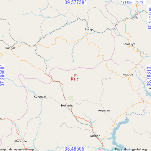
Kale GPS coordinates[2]
39° 1' 59.988" North, 38° 0' 0" East
| Map corner | latitude | longitude |
|---|---|---|
| Upper-left | 39.57739°, | 37.29688° |
| Center: | 39.03333°, | 38° |
| Lower-right: | 38.48505°, | 38.70313° |
| Map W x H: | 121.5×121.5 km | = 75.5×75.5mi |
| max Lat: | 42.02683° ⇑44.9% North |
| Kale: | 39.03333° |
| min Lat: | ⇓55.1% South 35.9025° |
| min Long | Kale | max Long |
| 25.90902° | 38° | 44.60099° |
| W 61.7%⇐ | ⇒38.3% E |
Elevation
Elevation of Kale is 1870 m = 6135 ft, and this is 1152.6 m = 3781 ft above average elevation for this country.
| Max E: |
2682 m = 8799 ft | 1.9% |
| Kale | 1870 m 6135 ft | |
| Avg. | 717.4 m = 2354 ft | |
Min E: |
0 m = 0 ft | 98.1% |
See also: Turkey elevation on elevation.city.
Geographical zone
Kale is located in North temperate zone (between Tropic of Cancer and the Arctic Circle). Distance of this Northern Tropic circle is 1734.2 km =1077.6 mi to South.| Distance of | km | miles | from Kale |
|---|---|---|---|
| North Pole | 5667 | 3521.3 | to North |
| Arctic Circle | 3061.1 | 1902.1 | to North |
| Tropic Cancer | 1734.2 | 1077.6 | to South |
| Equator | 4340.1 | 2696.8 | to South |


Nearby cities:
15 places around Kale: (largest is in red/bold)
• Alacahan
37.5 km =23.3 mi,  282°
282°
• Arapgir
42.8 km =26.6 mi,  88°
88°
• Arguvan
36.8 km =22.9 mi,  141°
141°
• Danişment
23 km =14.3 mi,  48°
48°
• Divriği
38.8 km =24.1 mi,  14°
14°
• Hasançelebi
13.8 km =8.6 mi,  228°
228°
• Hekimhan
24.9 km =15.5 mi,  194°
194°
• Kemaliye
49.9 km =31 mi,  59°
59°
• Kuluncak
34 km =21.1 mi,  239°
239°
• Kurşunlu
44.2 km =27.5 mi,  197°
197°
• Mursal
15.4 km =9.6 mi,  346°
346°
• Sincan
50 km =31.1 mi, 347°
• Taşdelen
48.7 km =30.3 mi,  116°
116°
• Yoncalı
22 km =13.7 mi,  97°
97°
• Çetinkaya
41.1 km =25.5 mi,  308°
308°
Sources, notices
• [Note1] Compared only with cities in Turkey existing in our database
• [Src1] Map data: © OpenStreetMap contributors (CC-BY-SA)
• [Src2] Other city data from geonames.org with taken over terms of usage.
• [Src3] Geographical zone / Annual Mean Temperature by Robert A. Rohde @ Wikipedia
