Kuluncak geodata
Kuluncak (Malatya) is a seat of a second-order administrative division; located in Turkey in Europe/Istanbul (GMT+3) time zone. With population of 8,495 people, there are 555 cities with bigger population in this country. Compared to other cities in Turkey, 52.9% of cities are located further ↓South; 59.7% of cities are located further ←West and 82.3% of cities have lower elevation than Kuluncak. Note1


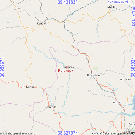
Kuluncak GPS coordinates[2]
38° 52' 35.616" North, 37° 39' 46.044" East
| Map corner | latitude | longitude |
|---|---|---|
| Upper-left | 39.42183°, | 36.95967° |
| Center: | 38.87656°, | 37.66279° |
| Lower-right: | 38.32707°, | 38.36592° |
| Map W x H: | 121.7×121.7 km | = 75.6×75.6mi |
| max Lat: | 42.02683° ⇑47.1% North |
| Kuluncak: | 38.87656° |
| min Lat: | ⇓52.9% South 35.9025° |
| min Long | Kuluncak | max Long |
| 25.90902° | 37.66279° | 44.60099° |
| W 59.7%⇐ | ⇒40.3% E |
Elevation
Elevation of Kuluncak is 1243 m = 4078 ft, and this is 525.6 m = 1724 ft above average elevation for this country.
| Max E: |
2682 m = 8799 ft | 17.7% |
| Kuluncak | 1243 m 4078 ft | |
| Avg. | 717.4 m = 2354 ft | |
Min E: |
0 m = 0 ft | 82.3% |
See also: Turkey elevation on elevation.city.
Geographical zone
Kuluncak is located in North temperate zone (between Tropic of Cancer and the Arctic Circle). Distance of this Northern Tropic circle is 1716.7 km =1066.7 mi to South.| Distance of | km | miles | from Kuluncak |
|---|---|---|---|
| North Pole | 5684.4 | 3532.1 | to North |
| Arctic Circle | 3078.5 | 1912.9 | to North |
| Tropic Cancer | 1716.7 | 1066.7 | to South |
| Equator | 4322.7 | 2686 | to South |


Nearby cities:
15 places around Kuluncak: (largest is in red/bold)
• Alacahan
26.7 km =16.6 mi,  343°
343°
• Balaban
46.8 km =29.1 mi,  188°
188°
• Darende
39.2 km =24.4 mi,  200°
200°
• Gürün
38 km =23.6 mi,  243°
243°
• Hasançelebi
20.6 km =12.8 mi,  66°
66°
• Hekimhan
24 km =14.9 mi,  106°
106°
• Kale
34 km =21.1 mi,  59°
59°
• Kangal
46.1 km =28.6 mi,  329°
329°
• Kavak
48.8 km =30.3 mi, 341°
• Konakpınar
31.8 km =19.8 mi,  275°
275°
• Kurşunlu
29.7 km =18.5 mi,  146°
146°
• Levent
51.6 km =32.1 mi,  161°
161°
• Mursal
41.2 km =25.6 mi,  38°
38°
• Yoncalı
53.1 km =33 mi, 73°
• Çetinkaya
42.9 km =26.7 mi,  355°
355°
Sources, notices
• [Note1] Compared only with cities in Turkey existing in our database
• [Src1] Map data: © OpenStreetMap contributors (CC-BY-SA)
• [Src2] Other city data from geonames.org with taken over terms of usage.
• [Src3] Geographical zone / Annual Mean Temperature by Robert A. Rohde @ Wikipedia
