Çağlarca geodata
Çağlarca (Tunceli) is a seat of a third-order administrative division; located in Turkey in Europe/Istanbul (GMT+3) time zone. In our database, there are 1323 cities with bigger population. Compared to other cities in Turkey, 55.1% of cities are located further ↓South; 68.8% of cities are located further ←West and 83.1% of cities have lower elevation than Çağlarca. Note1


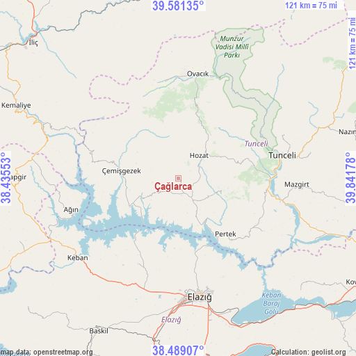
Çağlarca GPS coordinates[2]
39° 2' 14.352" North, 39° 8' 19.14" East
| Map corner | latitude | longitude |
|---|---|---|
| Upper-left | 39.58135°, | 38.43553° |
| Center: | 39.03732°, | 39.13865° |
| Lower-right: | 38.48907°, | 39.84178° |
| Map W x H: | 121.5×121.4 km | = 75.5×75.4mi |
| max Lat: | 42.02683° ⇑44.9% North |
| Çağlarca: | 39.03732° |
| min Lat: | ⇓55.1% South 35.9025° |
| min Long | Çağlarca | max Long |
| 25.90902° | 39.13865° | 44.60099° |
| W 68.8%⇐ | ⇒31.2% E |
Elevation
Elevation of Çağlarca is 1266 m = 4154 ft, and this is 548.6 m = 1800 ft above average elevation for this country.
| Max E: |
2682 m = 8799 ft | 16.9% |
| Çağlarca | 1266 m 4154 ft | |
| Avg. | 717.4 m = 2354 ft | |
Min E: |
0 m = 0 ft | 83.1% |
See also: Turkey elevation on elevation.city.
Geographical zone
Çağlarca is located in North temperate zone (between Tropic of Cancer and the Arctic Circle). Distance of this Northern Tropic circle is 1734.6 km =1077.8 mi to South.| Distance of | km | miles | from Çağlarca |
|---|---|---|---|
| North Pole | 5666.5 | 3521 | to North |
| Arctic Circle | 3060.6 | 1901.8 | to North |
| Tropic Cancer | 1734.6 | 1077.8 | to South |
| Equator | 4340.5 | 2697.1 | to South |


Nearby cities:
15 places around Çağlarca: (largest is in red/bold)
• Akçapınar
19.7 km =12.2 mi,  239°
239°
• Dere
15.2 km =9.4 mi,  113°
113°
• Gedikler
29.4 km =18.3 mi,  279°
279°
• Harput
38.1 km =23.7 mi,  166°
166°
• Hozat
9.2 km =5.7 mi,  40°
40°
• Hıdırbaba
33.1 km =20.6 mi,  204°
204°
• Karaoğlan
21.9 km =13.6 mi,  15°
15°
• Ovacık
35.6 km =22.1 mi,  9°
9°
• Pertek
24.8 km =15.4 mi,  140°
140°
• Pınarlar
34.1 km =21.2 mi,  122°
122°
• Sütlüce
37.6 km =23.4 mi,  68°
68°
• Tunceli
35.6 km =22.1 mi,  78°
78°
• Yeşilyazı
33.4 km =20.8 mi,  351°
351°
• Çemişgezek
20.1 km =12.5 mi, 275°
• Çiçekli
24 km =14.9 mi,  85°
85°
Sources, notices
• [Note1] Compared only with cities in Turkey existing in our database
• [Src1] Map data: © OpenStreetMap contributors (CC-BY-SA)
• [Src2] Other city data from geonames.org with taken over terms of usage.
• [Src3] Geographical zone / Annual Mean Temperature by Robert A. Rohde @ Wikipedia
