Aydıntepe geodata
Aydıntepe (Bayburt) is a seat of a second-order administrative division; located in Turkey in Europe/Istanbul (GMT+3) time zone. With population of 7,961 people, there are 578 cities with bigger population in this country. Compared to other cities in Turkey, 75.6% of cities are located further ↓South; 74.5% of cities are located further ←West and 93.4% of cities have lower elevation than Aydıntepe. Note1


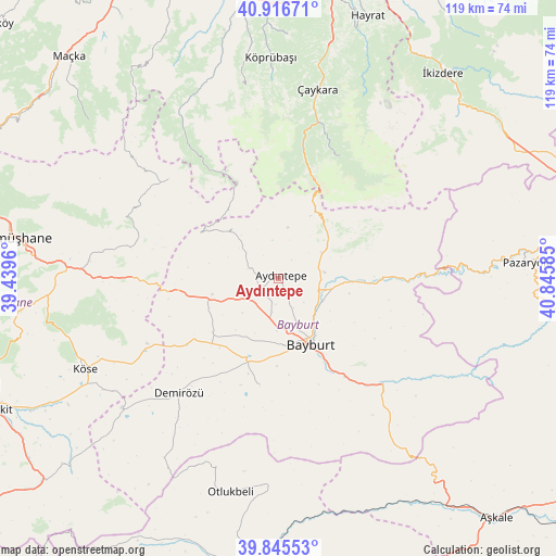
Aydıntepe GPS coordinates[2]
40° 22' 59.7" North, 40° 8' 33.792" East
| Map corner | latitude | longitude |
|---|---|---|
| Upper-left | 40.91671°, | 39.4396° |
| Center: | 40.38325°, | 40.14272° |
| Lower-right: | 39.84553°, | 40.84585° |
| Map W x H: | 119.1×119.1 km | = 74×74mi |
| max Lat: | 42.02683° ⇑24.4% North |
| Aydıntepe: | 40.38325° |
| min Lat: | ⇓75.6% South 35.9025° |
| min Long | Aydıntepe | max Long |
| 25.90902° | 40.14272° | 44.60099° |
| W 74.5%⇐ | ⇒25.5% E |
Elevation
Elevation of Aydıntepe is 1594 m = 5230 ft, and this is 876.6 m = 2876 ft above average elevation for this country.
| Max E: |
2682 m = 8799 ft | 6.6% |
| Aydıntepe | 1594 m 5230 ft | |
| Avg. | 717.4 m = 2354 ft | |
Min E: |
0 m = 0 ft | 93.4% |
See also: Turkey elevation on elevation.city.
Geographical zone
Aydıntepe is located in North temperate zone (between Tropic of Cancer and the Arctic Circle). Distance of this Northern Tropic circle is 1884.3 km =1170.8 mi to South.| Distance of | km | miles | from Aydıntepe |
|---|---|---|---|
| North Pole | 5516.9 | 3428 | to North |
| Arctic Circle | 2911 | 1808.8 | to North |
| Tropic Cancer | 1884.3 | 1170.8 | to South |
| Equator | 4490.2 | 2790.1 | to South |


Nearby cities:
15 places around Aydıntepe: (largest is in red/bold)
• Bayburt
15.7 km =9.8 mi,  154°
154°
• Dağbaşı
43 km =26.7 mi,  333°
333°
• Dernekpazarı
46.8 km =29.1 mi,  10°
10°
• Kale
38.9 km =24.2 mi,  270°
270°
• Köprübaşı
47.2 km =29.3 mi,  357°
357°
• Köse
46.4 km =28.8 mi,  245°
245°
• Küçükdere
47.7 km =29.6 mi,  351°
351°
• Maden
31.6 km =19.6 mi,  135°
135°
• Otlukbeli
47.1 km =29.3 mi,  192°
192°
• Pazaryolu
53 km =32.9 mi,  86°
86°
• Pulur
32.6 km =20.3 mi,  220°
220°
• Uzungöl
28.7 km =17.8 mi,  25°
25°
• Yağlıdere
55 km =34.2 mi,  288°
288°
• Yağmurdere
31.9 km =19.8 mi,  311°
311°
• Çaykara
40.7 km =25.3 mi, 10°
Sources, notices
• [Note1] Compared only with cities in Turkey existing in our database
• [Src1] Map data: © OpenStreetMap contributors (CC-BY-SA)
• [Src2] Other city data from geonames.org with taken over terms of usage.
• [Src3] Geographical zone / Annual Mean Temperature by Robert A. Rohde @ Wikipedia
