Ayancık geodata
Ayancık (Sinop) is a seat of a second-order administrative division; located in Turkey in Europe/Istanbul (GMT+3) time zone. With population of 11,779 people, there are 458 cities with bigger population in this country. Compared to other cities in Turkey, 99.6% of cities are located further ↓South; 56.1% of cities are located further →East and 85.3% of cities have higher elevation than Ayancık. Note1


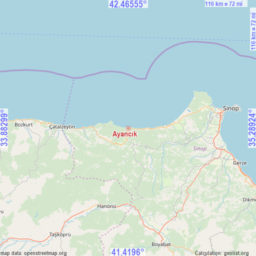
Ayancık GPS coordinates[2]
41° 56' 40.992" North, 34° 35' 9.996" East
| Map corner | latitude | longitude |
|---|---|---|
| Upper-left | 42.46555°, | 33.88299° |
| Center: | 41.94472°, | 34.58611° |
| Lower-right: | 41.4196°, | 35.28924° |
| Map W x H: | 116.3×116.3 km | = 72.3×72.3mi |
| max Lat: | 42.02683° ⇑0.4% North |
| Ayancık: | 41.94472° |
| min Lat: | ⇓99.6% South 35.9025° |
| min Long | Ayancık | max Long |
| 25.90902° | 34.58611° | 44.60099° |
| W 43.9%⇐ | ⇒56.1% E |
Elevation
Elevation of Ayancık is 69 m = 226 ft, and this is 648.4 m = 2127 ft below average elevation for this country.
| Max E: |
2682 m = 8799 ft | 85.3% |
| Avg. | 717.4 m = 2354 ft | |
| Ayancık | 69 m = 226 ft | |
Min E: |
0 m = 0 ft | 14.7% |
See also: Turkey elevation on elevation.city.
Geographical zone
Ayancık is located in North temperate zone (between Tropic of Cancer and the Arctic Circle). Distance of this Northern Tropic circle is 2057.9 km =1278.7 mi to South.| Distance of | km | miles | from Ayancık |
|---|---|---|---|
| North Pole | 5343.2 | 3320.1 | to North |
| Arctic Circle | 2737.4 | 1700.9 | to North |
| Tropic Cancer | 2057.9 | 1278.7 | to South |
| Equator | 4663.8 | 2898 | to South |


Nearby cities:
15 places around Ayancık: (largest is in red/bold)
• Abana
47.7 km =29.6 mi,  274°
274°
• Boyabat
55 km =34.2 mi,  164°
164°
• Bozkurt
47.6 km =29.6 mi, 271°
• Dikmen
65.2 km =40.5 mi,  120°
120°
• Erfelek
28.4 km =17.6 mi,  104°
104°
• Gerze
53.3 km =33.1 mi,  107°
107°
• Güzelkent
15.9 km =9.9 mi, 271°
• Hanönü
36.7 km =22.8 mi,  195°
195°
• Kabalı
40.7 km =25.3 mi, 104°
• Sinop
48.5 km =30.1 mi,  79°
79°
• Taşköprü
57.4 km =35.7 mi,  212°
212°
• Türkeli
20.5 km =12.7 mi, 270°
• Yenikonak
8.1 km =5 mi,  169°
169°
• Çatalzeytin
30.6 km =19 mi, 271°
• İnebolu
68.3 km =42.4 mi, 272°
Sources, notices
• [Note1] Compared only with cities in Turkey existing in our database
• [Src1] Map data: © OpenStreetMap contributors (CC-BY-SA)
• [Src2] Other city data from geonames.org with taken over terms of usage.
• [Src3] Geographical zone / Annual Mean Temperature by Robert A. Rohde @ Wikipedia
