Maposeni geodata
Maposeni (Ruvuma) is a populated place; located in Tanzania in Africa/Dar_es_Salaam (GMT+3) time zone. With population of 19,472 people, there are 131 cities with bigger population in this country. Compared to other cities in Tanzania, 92.3% of cities are located further ↑North; 51.4% of cities are located further ←West and 59.4% of cities have higher elevation than Maposeni. Note1


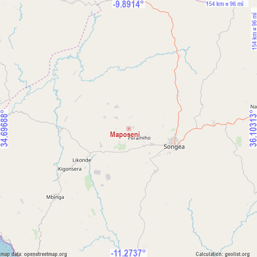
Maposeni GPS coordinates[2]
10° 34' 59.988" South, 35° 24' 0" East
| Map corner | latitude | longitude |
|---|---|---|
| Upper-left | -9.8914°, | 34.69688° |
| Center: | -10.58333°, | 35.4° |
| Lower-right: | -11.2737°, | 36.10313° |
| Map W x H: | 153.7×153.7 km | = 95.5×95.5mi |
| max Lat: | -1.14389° ⇑92.3% North |
| Maposeni: | -10.58333° |
| min Lat: | ⇓7.7% South -11.36667° |
| min Long | Maposeni | max Long |
| 29.62667° | 35.4° | 40.33333° |
| W 51.4%⇐ | ⇒48.6% E |
Elevation
Elevation of Maposeni is 978 m = 3209 ft, and this is 35.2 m = 115 ft above average elevation for this country.
| Max E: |
2377 m = 7799 ft | 59.4% |
| Maposeni | 978 m 3209 ft | |
| Avg. | 942.8 m = 3093 ft | |
Min E: |
0 m = 0 ft | 40.6% |
See also: Tanzania elevation on elevation.city.
Geographical zone
Maposeni is located in South Torrid zone (between Equator and Tropic of Capricorn). Distance of Equator is 1176.8 km =731.2 mi to North.| Distance of | km | miles | from Maposeni |
|---|---|---|---|
| Equator | 1176.8 | 731.2 | to North |
| Tropic Capricorn | 1429.2 | 888.1 | to South |
| Antarctic Circle | 6224.4 | 3867.7 | to South |
| South Pole | 8830.3 | 5486.9 | to South |


Nearby cities:
15 places around Maposeni: (largest is in red/bold)
• Kigonsera
45.2 km =28.1 mi,  237°
237°
• Liuli
100.5 km =62.4 mi, 236°
• Mahanje
72.6 km =45.1 mi,  354°
354°
• Makumbako
202.5 km =125.8 mi,  342°
342°
• Malinyi
200.3 km =124.5 mi,  23°
23°
• Manda
90.2 km =56 mi,  278°
278°
• Matiri
57.7 km =35.9 mi,  251°
251°
• Mbamba Bay
104.1 km =64.7 mi,  221°
221°
• Mbinga
57.2 km =35.5 mi,  227°
227°
• Mlangali
131.4 km =81.6 mi,  312°
312°
• Mtwango
186.2 km =115.7 mi, 339°
• Mwaya
196 km =121.8 mi, 305°
• Njombe
153.5 km =95.4 mi,  333°
333°
• Songea
29.5 km =18.3 mi,  112°
112°
• Tingi
89.2 km =55.4 mi,  206°
206°
Sources, notices
• [Note1] Compared only with cities in Tanzania existing in our database
• [Src1] Map data: © OpenStreetMap contributors (CC-BY-SA)
• [Src2] Other city data from geonames.org with taken over terms of usage.
• [Src3] Geographical zone / Annual Mean Temperature by Robert A. Rohde @ Wikipedia
