Tingi geodata
Tingi (Ruvuma) is a populated place; located in Tanzania in Africa/Dar_es_Salaam (GMT+3) time zone. With population of 16,315 people, there are 175 cities with bigger population in this country. Compared to other cities in Tanzania, 99.7% of cities are located further ↑North; 51.7% of cities are located further →East and 63.6% of cities have lower elevation than Tingi. Note1


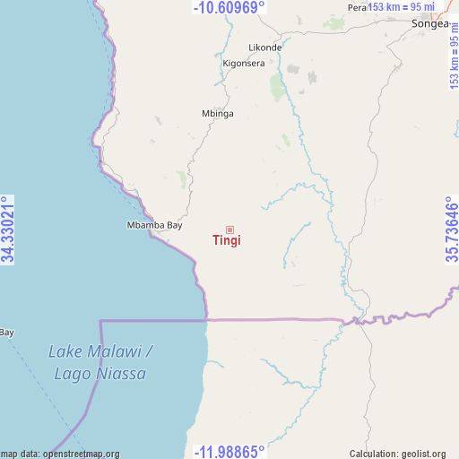
Tingi GPS coordinates[2]
11° 18' 0" South, 35° 1' 59.988" East
| Map corner | latitude | longitude |
|---|---|---|
| Upper-left | -10.60969°, | 34.33021° |
| Center: | -11.3°, | 35.03333° |
| Lower-right: | -11.98865°, | 35.73646° |
| Map W x H: | 153.3×153.3 km | = 95.3×95.3mi |
| max Lat: | -1.14389° ⇑99.7% North |
| Tingi: | -11.3° |
| min Lat: | ⇓0.3% South -11.36667° |
| min Long | Tingi | max Long |
| 29.62667° | 35.03333° | 40.33333° |
| W 48.3%⇐ | ⇒51.7% E |
Elevation
Elevation of Tingi is 1203 m = 3947 ft, and this is 260.2 m = 854 ft above average elevation for this country.
| Max E: |
2377 m = 7799 ft | 36.4% |
| Tingi | 1203 m 3947 ft | |
| Avg. | 942.8 m = 3093 ft | |
Min E: |
0 m = 0 ft | 63.6% |
See also: Tanzania elevation on elevation.city.
Geographical zone
Tingi is located in South Torrid zone (between Equator and Tropic of Capricorn). Distance of Equator is 1256.4 km =780.7 mi to North.| Distance of | km | miles | from Tingi |
|---|---|---|---|
| Equator | 1256.4 | 780.7 | to North |
| Tropic Capricorn | 1349.5 | 838.5 | to South |
| Antarctic Circle | 6144.7 | 3818.1 | to South |
| South Pole | 8750.6 | 5437.4 | to South |


Nearby cities:
15 places around Tingi: (largest is in red/bold)
• Ipinda
237 km =147.3 mi,  328°
328°
• Kigonsera
55.6 km =34.5 mi,  1°
1°
• Kyela
230.6 km =143.3 mi, 325°
• Liuli
49.8 km =30.9 mi,  298°
298°
• Mahanje
155.5 km =96.6 mi,  12°
12°
• Manda
104.9 km =65.2 mi, 332°
• Maposeni
89.2 km =55.4 mi,  26°
26°
• Matiri
62.9 km =39.1 mi,  346°
346°
• Mbamba Bay
29.1 km =18.1 mi,  273°
273°
• Mbinga
40.8 km =25.4 mi,  357°
357°
• Mlangali
177.8 km =110.5 mi,  341°
341°
• Mtwango
255.2 km =158.6 mi, 354°
• Mwaya
227.8 km =141.5 mi, 328°
• Njombe
218.8 km =136 mi, 352°
• Songea
96.1 km =59.7 mi,  44°
44°
Sources, notices
• [Note1] Compared only with cities in Tanzania existing in our database
• [Src1] Map data: © OpenStreetMap contributors (CC-BY-SA)
• [Src2] Other city data from geonames.org with taken over terms of usage.
• [Src3] Geographical zone / Annual Mean Temperature by Robert A. Rohde @ Wikipedia
