Smila geodata
Smila (Cherkasy) is a seat of a second-order administrative division; located in Ukraine in Europe/Kiev (GMT+3) time zone. With population of 67,530 people, there are 70 cities with bigger population in this country. Compared to other cities in Ukraine, 70% of cities are located further ↓South; 57.8% of cities are located further →East and 61.4% of cities have higher elevation than Smila. Note1


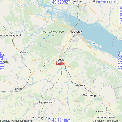
Smila GPS coordinates[2]
49° 13' 20.712" North, 31° 53' 13.704" East
| Map corner | latitude | longitude |
|---|---|---|
| Upper-left | 49.67952°, | 31.18402° |
| Center: | 49.22242°, | 31.88714° |
| Lower-right: | 48.76106°, | 32.59027° |
| Map W x H: | 102.1×102.1 km | = 63.4×63.4mi |
| max Lat: | 52.18903° ⇑30% North |
| Smila: | 49.22242° |
| min Lat: | ⇓70% South 44.39214° |
| min Long | Smila | max Long |
| 22.20555° | 31.88714° | 40.13222° |
| W 42.2%⇐ | ⇒57.8% E |
Elevation
Elevation of Smila is 101 m = 331 ft, and this is 54.8 m = 180 ft below average elevation for this country.
| Max E: |
886 m = 2907 ft | 61.4% |
| Avg. | 155.8 m = 511 ft | |
| Smila | 101 m = 331 ft | |
Min E: |
-3 m = -10 ft | 38.6% |
See also: Smila elevation on elevation.city.
Geographical zone
Smila is located in North temperate zone (between Tropic of Cancer and the Arctic Circle). Distance of this North polar circle is 1928.2 km =1198.1 mi to North.| Distance of | km | miles | from Smila |
|---|---|---|---|
| North Pole | 4534 | 2817.3 | to North |
| Arctic Circle | 1928.2 | 1198.1 | to North |
| Tropic Cancer | 2867.1 | 1781.5 | to South |
| Equator | 5473 | 3400.8 | to South |


Nearby cities:
15 places around Smila: (largest is in red/bold)
• Cherkasy
26.2 km =16.3 mi,  28°
28°
• Chervona Sloboda
25.8 km =16 mi,  49°
49°
• Horodyshche
32.8 km =20.4 mi,  282°
282°
• Kamianka
26.4 km =16.4 mi,  143°
143°
• Kapitanivka
36.1 km =22.4 mi,  200°
200°
• Korsun-Shevchenkivskyi
50.5 km =31.4 mi,  295°
295°
• Lebedyn
39 km =24.2 mi,  222°
222°
• Mliiv
29.7 km =18.5 mi, 295°
• Moshny
35.6 km =22.1 mi,  342°
342°
• Novomyrhorod
52.2 km =32.4 mi, 200°
• Oleksandrivka
38.4 km =23.9 mi, 138°
• Ruska Poliana
21.8 km =13.5 mi,  6°
6°
• Shpola
43.1 km =26.8 mi,  236°
236°
• Tsvitkove
26.6 km =16.5 mi,  252°
252°
• Zolotonosha
50.8 km =31.6 mi, 12°
Sources, notices
• [Note1] Compared only with cities in Ukraine existing in our database
• [Src1] Map data: © OpenStreetMap contributors (CC-BY-SA)
• [Src2] Other city data from geonames.org with taken over terms of usage.
• [Src3] Geographical zone / Annual Mean Temperature by Robert A. Rohde @ Wikipedia
