Moshny geodata
Moshny (Cherkasy) is a populated place; located in Ukraine in Europe/Kiev (GMT+3) time zone. With population of 4,629 people, there are 684 cities with bigger population in this country. Compared to other cities in Ukraine, 74.9% of cities are located further ↓South; 58.3% of cities are located further →East and 67.7% of cities have higher elevation than Moshny. Note1


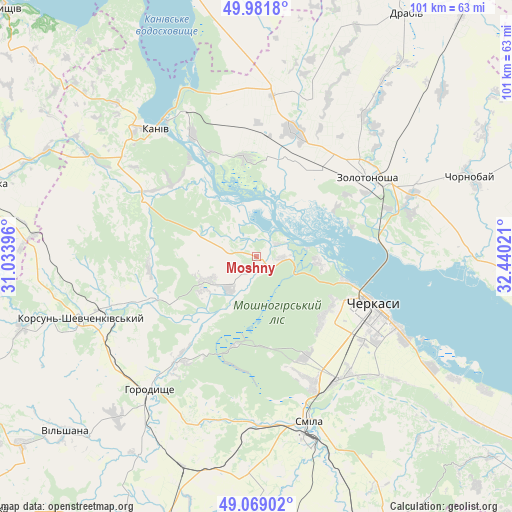
Moshny GPS coordinates[2]
49° 31' 39.144" North, 31° 44' 13.488" East
| Map corner | latitude | longitude |
|---|---|---|
| Upper-left | 49.9818°, | 31.03396° |
| Center: | 49.52754°, | 31.73708° |
| Lower-right: | 49.06902°, | 32.44021° |
| Map W x H: | 101.5×101.5 km | = 63.1×63.1mi |
| max Lat: | 52.18903° ⇑25.1% North |
| Moshny: | 49.52754° |
| min Lat: | ⇓74.9% South 44.39214° |
| min Long | Moshny | max Long |
| 22.20555° | 31.73708° | 40.13222° |
| W 41.7%⇐ | ⇒58.3% E |
Elevation
Elevation of Moshny is 82 m = 269 ft, and this is 73.8 m = 242 ft below average elevation for this country.
| Max E: |
886 m = 2907 ft | 67.7% |
| Avg. | 155.8 m = 511 ft | |
| Moshny | 82 m = 269 ft | |
Min E: |
-3 m = -10 ft | 32.3% |
See also: Ukraine elevation on elevation.city.
Geographical zone
Moshny is located in North temperate zone (between Tropic of Cancer and the Arctic Circle). Distance of this North polar circle is 1894.2 km =1177 mi to North.| Distance of | km | miles | from Moshny |
|---|---|---|---|
| North Pole | 4500.1 | 2796.2 | to North |
| Arctic Circle | 1894.2 | 1177 | to North |
| Tropic Cancer | 2901 | 1802.6 | to South |
| Equator | 5506.9 | 3421.8 | to South |


Nearby cities:
15 places around Moshny: (largest is in red/bold)
• Cherkasy
25.9 km =16.1 mi,  115°
115°
• Chervona Sloboda
34.9 km =21.7 mi, 119°
• Chornobay
45.4 km =28.2 mi,  70°
70°
• Drabiv
56.2 km =34.9 mi,  31°
31°
• Horodyshche
34.3 km =21.3 mi,  218°
218°
• Kaniv
31.9 km =19.8 mi,  321°
321°
• Korsun-Shevchenkivskyi
36.6 km =22.7 mi,  250°
250°
• Mliiv
26.5 km =16.5 mi, 216°
• Myronivka
56.4 km =35 mi,  285°
285°
• Ruska Poliana
18.1 km =11.2 mi,  132°
132°
• Smila
35.6 km =22.1 mi,  162°
162°
• Stebliv
48.3 km =30 mi, 253°
• Tsvitkove
44.2 km =27.5 mi,  199°
199°
• Tsybli
53.4 km =33.2 mi,  346°
346°
• Zolotonosha
26.9 km =16.7 mi,  54°
54°
Sources, notices
• [Note1] Compared only with cities in Ukraine existing in our database
• [Src1] Map data: © OpenStreetMap contributors (CC-BY-SA)
• [Src2] Other city data from geonames.org with taken over terms of usage.
• [Src3] Geographical zone / Annual Mean Temperature by Robert A. Rohde @ Wikipedia
