Shchastya geodata
Shchastya (Luhansk) is a populated place; located in Ukraine in Europe/Zaporozhye (GMT+3) time zone. With population of 13,800 people, there are 274 cities with bigger population in this country. Compared to other cities in Ukraine, 61.3% of cities are located further ↓South; 99% of cities are located further ←West and 79.5% of cities have higher elevation than Shchastya. Note1


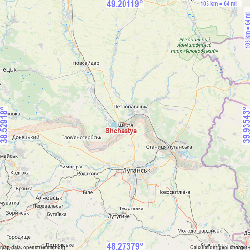
Shchastya GPS coordinates[2]
48° 44' 22.668" North, 39° 13' 56.28" East
| Map corner | latitude | longitude |
|---|---|---|
| Upper-left | 49.20119°, | 38.52918° |
| Center: | 48.73963°, | 39.2323° |
| Lower-right: | 48.27379°, | 39.93543° |
| Map W x H: | 103.1×103.1 km | = 64.1×64.1mi |
| max Lat: | 52.18903° ⇑38.7% North |
| Shchastya: | 48.73963° |
| min Lat: | ⇓61.3% South 44.39214° |
| min Long | Shchastya | max Long |
| 22.20555° | 39.2323° | 40.13222° |
| W 99%⇐ | ⇒1% E |
Elevation
Elevation of Shchastya is 45 m = 148 ft, and this is 110.8 m = 364 ft below average elevation for this country.
| Max E: |
886 m = 2907 ft | 79.5% |
| Avg. | 155.8 m = 511 ft | |
| Shchastya | 45 m = 148 ft | |
Min E: |
-3 m = -10 ft | 20.5% |
See also: Ukraine elevation on elevation.city.
Geographical zone
Shchastya is located in North temperate zone (between Tropic of Cancer and the Arctic Circle). Distance of this North polar circle is 1981.8 km =1231.4 mi to North.| Distance of | km | miles | from Shchastya |
|---|---|---|---|
| North Pole | 4587.7 | 2850.7 | to North |
| Arctic Circle | 1981.8 | 1231.4 | to North |
| Tropic Cancer | 2813.4 | 1748.2 | to South |
| Equator | 5419.3 | 3367.4 | to South |


Nearby cities:
15 places around Shchastya: (largest is in red/bold)
• Alchevs’k
42.9 km =26.7 mi,  225°
225°
• Bile
30.3 km =18.8 mi,  206°
206°
• Kirovs’k
44.7 km =27.8 mi,  255°
255°
• Lenina
35.1 km =21.8 mi,  190°
190°
• Luhansk
20.2 km =12.6 mi,  162°
162°
• Lutuhyne
37.2 km =23.1 mi,  180°
180°
• Makariv Yar
40.1 km =24.9 mi,  116°
116°
• Novoaydar
29.9 km =18.6 mi,  326°
326°
• Pereval’s’k
44.1 km =27.4 mi,  220°
220°
• Rozkishne
28 km =17.4 mi,  172°
172°
• Slov`yanoserbsk
19 km =11.8 mi, 255°
• Stanytsya Luhans’ka
20.5 km =12.7 mi, 117°
• Tr’okhizbenka
19.8 km =12.3 mi,  275°
275°
• Uspenka
39.1 km =24.3 mi, 187°
• Zymohiria
27.6 km =17.1 mi, 231°
Sources, notices
• [Note1] Compared only with cities in Ukraine existing in our database
• [Src1] Map data: © OpenStreetMap contributors (CC-BY-SA)
• [Src2] Other city data from geonames.org with taken over terms of usage.
• [Src3] Geographical zone / Annual Mean Temperature by Robert A. Rohde @ Wikipedia
