Pohrebyshche geodata
Pohrebyshche (Vinnyts'ka) is a seat of a second-order administrative division; located in Ukraine in Europe/Kiev (GMT+3) time zone. With population of 10,354 people, there are 349 cities with bigger population in this country. Compared to other cities in Ukraine, 74.2% of cities are located further ↓South; 71.2% of cities are located further →East and 75.7% of cities have lower elevation than Pohrebyshche. Note1


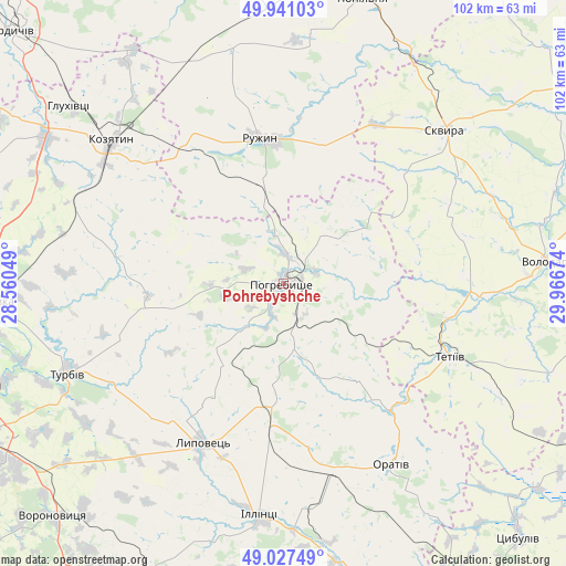
Pohrebyshche GPS coordinates[2]
49° 29' 11.004" North, 29° 15' 48.996" East
| Map corner | latitude | longitude |
|---|---|---|
| Upper-left | 49.94103°, | 28.56049° |
| Center: | 49.48639°, | 29.26361° |
| Lower-right: | 49.02749°, | 29.96674° |
| Map W x H: | 101.6×101.6 km | = 63.1×63.1mi |
| max Lat: | 52.18903° ⇑25.8% North |
| Pohrebyshche: | 49.48639° |
| min Lat: | ⇓74.2% South 44.39214° |
| min Long | Pohrebyshche | max Long |
| 22.20555° | 29.26361° | 40.13222° |
| W 28.8%⇐ | ⇒71.2% E |
Elevation
Elevation of Pohrebyshche is 228 m = 748 ft, and this is 72.2 m = 237 ft above average elevation for this country.
| Max E: |
886 m = 2907 ft | 24.3% |
| Pohrebyshche | 228 m 748 ft | |
| Avg. | 155.8 m = 511 ft | |
Min E: |
-3 m = -10 ft | 75.7% |
See also: Ukraine elevation on elevation.city.
Geographical zone
Pohrebyshche is located in North temperate zone (between Tropic of Cancer and the Arctic Circle). Distance of this North polar circle is 1898.8 km =1179.9 mi to North.| Distance of | km | miles | from Pohrebyshche |
|---|---|---|---|
| North Pole | 4504.7 | 2799.1 | to North |
| Arctic Circle | 1898.8 | 1179.9 | to North |
| Tropic Cancer | 2896.5 | 1799.8 | to South |
| Equator | 5502.4 | 3419 | to South |


Nearby cities:
15 places around Pohrebyshche: (largest is in red/bold)
• Bystriivka
39.3 km =24.4 mi,  0°
0°
• Chornorudka
42.6 km =26.5 mi,  339°
339°
• Derhanivka
27 km =16.8 mi,  327°
327°
• Golubivka
22.9 km =14.2 mi, 341°
• Illintsi
42.6 km =26.5 mi,  184°
184°
• Kozyatyn
40 km =24.9 mi,  309°
309°
• Lypovets
32.3 km =20.1 mi,  207°
207°
• Nova Pryluka
42.6 km =26.5 mi,  253°
253°
• Orativ
38.2 km =23.7 mi,  150°
150°
• Ruzhyn
26.6 km =16.5 mi,  350°
350°
• Skvyra
39.8 km =24.7 mi,  46°
46°
• Tetiiv
31.5 km =19.6 mi,  112°
112°
• Topory
18.8 km =11.7 mi,  11°
11°
• Turbiv
42.2 km =26.2 mi, 248°
• Zarudyntsi
19.1 km =11.9 mi, 344°
Sources, notices
• [Note1] Compared only with cities in Ukraine existing in our database
• [Src1] Map data: © OpenStreetMap contributors (CC-BY-SA)
• [Src2] Other city data from geonames.org with taken over terms of usage.
• [Src3] Geographical zone / Annual Mean Temperature by Robert A. Rohde @ Wikipedia
