Golubivka geodata
Golubivka (Zhytomyr) is a populated place; located in Ukraine in Europe/Kiev (GMT+3) time zone. With population of 822 people, there are 1474 cities with bigger population in this country. Compared to other cities in Ukraine, 77.6% of cities are located further ↓South; 71.9% of cities are located further →East and 77.7% of cities have lower elevation than Golubivka. Note1


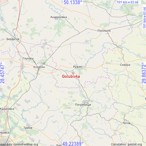
Golubivka GPS coordinates[2]
49° 40' 51.492" North, 29° 9' 38.124" East
| Map corner | latitude | longitude |
|---|---|---|
| Upper-left | 50.1338°, | 28.45747° |
| Center: | 49.68097°, | 29.16059° |
| Lower-right: | 49.22389°, | 29.86372° |
| Map W x H: | 101.2×101.2 km | = 62.9×62.9mi |
| max Lat: | 52.18903° ⇑22.4% North |
| Golubivka: | 49.68097° |
| min Lat: | ⇓77.6% South 44.39214° |
| min Long | Golubivka | max Long |
| 22.20555° | 29.16059° | 40.13222° |
| W 28.1%⇐ | ⇒71.9% E |
Elevation
Elevation of Golubivka is 237 m = 778 ft, and this is 81.2 m = 266 ft above average elevation for this country.
| Max E: |
886 m = 2907 ft | 22.3% |
| Golubivka | 237 m 778 ft | |
| Avg. | 155.8 m = 511 ft | |
Min E: |
-3 m = -10 ft | 77.7% |
See also: Ukraine elevation on elevation.city.
Geographical zone
Golubivka is located in North temperate zone (between Tropic of Cancer and the Arctic Circle). Distance of this North polar circle is 1877.2 km =1166.4 mi to North.| Distance of | km | miles | from Golubivka |
|---|---|---|---|
| North Pole | 4483.1 | 2785.7 | to North |
| Arctic Circle | 1877.2 | 1166.4 | to North |
| Tropic Cancer | 2918.1 | 1813.2 | to South |
| Equator | 5524 | 3432.5 | to South |


Nearby cities:
15 places around Golubivka: (largest is in red/bold)
• Andrushivka
39.3 km =24.4 mi,  345°
345°
• Andrushky
25.9 km =16.1 mi,  30°
30°
• Brovky Pershi
28.1 km =17.5 mi,  5°
5°
• Buky
39.1 km =24.3 mi,  62°
62°
• Bystriivka
19.2 km =11.9 mi,  23°
23°
• Chervone
36.5 km =22.7 mi,  324°
324°
• Chornorudka
19.7 km =12.2 mi,  338°
338°
• Derhanivka
7.2 km =4.5 mi,  278°
278°
• Kozyatyn
23.8 km =14.8 mi, 278°
• Pohrebyshche
22.9 km =14.2 mi,  161°
161°
• Popilnia
36.8 km =22.9 mi, 34°
• Ruzhyn
5.6 km =3.5 mi, 34°
• Skvyra
36.8 km =22.9 mi,  81°
81°
• Topory
11.7 km =7.3 mi,  106°
106°
• Zarudyntsi
3.9 km =2.4 mi,  145°
145°
Sources, notices
• [Note1] Compared only with cities in Ukraine existing in our database
• [Src1] Map data: © OpenStreetMap contributors (CC-BY-SA)
• [Src2] Other city data from geonames.org with taken over terms of usage.
• [Src3] Geographical zone / Annual Mean Temperature by Robert A. Rohde @ Wikipedia
