Pobugskoye geodata
Pobugskoye (Kirovohrad) is a populated place; located in Ukraine in Europe/Kiev (GMT+3) time zone. With population of 5,716 people, there are 587 cities with bigger population in this country. Compared to other cities in Ukraine, 53% of cities are located further ↑North; 64.1% of cities are located further →East and 54.5% of cities have higher elevation than Pobugskoye. Note1


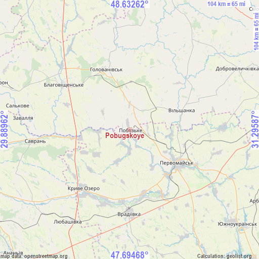
Pobugskoye GPS coordinates[2]
48° 9' 56.844" North, 30° 35' 33.864" East
| Map corner | latitude | longitude |
|---|---|---|
| Upper-left | 48.63262°, | 29.88962° |
| Center: | 48.16579°, | 30.59274° |
| Lower-right: | 47.69468°, | 31.29587° |
| Map W x H: | 104.3×104.3 km | = 64.8×64.8mi |
| max Lat: | 52.18903° ⇑53% North |
| Pobugskoye: | 48.16579° |
| min Lat: | ⇓47% South 44.39214° |
| min Long | Pobugskoye | max Long |
| 22.20555° | 30.59274° | 40.13222° |
| W 35.9%⇐ | ⇒64.1% E |
Elevation
Elevation of Pobugskoye is 121 m = 397 ft, and this is 34.8 m = 114 ft below average elevation for this country.
| Max E: |
886 m = 2907 ft | 54.5% |
| Avg. | 155.8 m = 511 ft | |
| Pobugskoye | 121 m = 397 ft | |
Min E: |
-3 m = -10 ft | 45.5% |
See also: Ukraine elevation on elevation.city.
Geographical zone
Pobugskoye is located in North temperate zone (between Tropic of Cancer and the Arctic Circle). Distance of this North polar circle is 2045.6 km =1271.1 mi to North.| Distance of | km | miles | from Pobugskoye |
|---|---|---|---|
| North Pole | 4651.5 | 2890.3 | to North |
| Arctic Circle | 2045.6 | 1271.1 | to North |
| Tropic Cancer | 2749.6 | 1708.5 | to South |
| Equator | 5355.5 | 3327.8 | to South |


Nearby cities:
15 places around Pobugskoye: (largest is in red/bold)
• Blahovishchens’ke
32.7 km =20.3 mi,  304°
304°
• Holovanivs’k
26.1 km =16.2 mi,  338°
338°
• Kryve Ozero
29.8 km =18.5 mi,  217°
217°
• Lypnyazhka
47.5 km =29.5 mi,  48°
48°
• Lysa Hora
38.4 km =23.9 mi,  89°
89°
• Lyubashivka
44.1 km =27.4 mi,  214°
214°
• Myhiya
30.2 km =18.8 mi,  118°
118°
• Perehonivka
41.5 km =25.8 mi,  352°
352°
• Pervomays’k
23.4 km =14.5 mi,  125°
125°
• Pidhorodna
23 km =14.3 mi,  106°
106°
• Savran
38 km =23.6 mi,  264°
264°
• Tyshkivka
45 km =28 mi,  35°
35°
• Vil’shanka
22.4 km =13.9 mi,  69°
69°
• Vradiyivka
33.8 km =21 mi,  180°
180°
• Zavallya
43.1 km =26.8 mi,  277°
277°
Sources, notices
• [Note1] Compared only with cities in Ukraine existing in our database
• [Src1] Map data: © OpenStreetMap contributors (CC-BY-SA)
• [Src2] Other city data from geonames.org with taken over terms of usage.
• [Src3] Geographical zone / Annual Mean Temperature by Robert A. Rohde @ Wikipedia
