Hryshkivtsi geodata
Hryshkivtsi (Zhytomyr) is a populated place; located in Ukraine in Europe/Kiev (GMT+3) time zone. With population of 4,427 people, there are 708 cities with bigger population in this country. Compared to other cities in Ukraine, 82.3% of cities are located further ↓South; 74.4% of cities are located further →East and 82.5% of cities have lower elevation than Hryshkivtsi. Note1


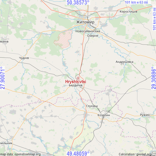
Hryshkivtsi GPS coordinates[2]
49° 56' 7.044" North, 28° 36' 13.788" East
| Map corner | latitude | longitude |
|---|---|---|
| Upper-left | 50.38573°, | 27.90071° |
| Center: | 49.93529°, | 28.60383° |
| Lower-right: | 49.48059°, | 29.30696° |
| Map W x H: | 100.6×100.6 km | = 62.5×62.5mi |
| max Lat: | 52.18903° ⇑17.7% North |
| Hryshkivtsi: | 49.93529° |
| min Lat: | ⇓82.3% South 44.39214° |
| min Long | Hryshkivtsi | max Long |
| 22.20555° | 28.60383° | 40.13222° |
| W 25.6%⇐ | ⇒74.4% E |
Elevation
Elevation of Hryshkivtsi is 261 m = 856 ft, and this is 105.2 m = 345 ft above average elevation for this country.
| Max E: |
886 m = 2907 ft | 17.5% |
| Hryshkivtsi | 261 m 856 ft | |
| Avg. | 155.8 m = 511 ft | |
Min E: |
-3 m = -10 ft | 82.5% |
See also: Ukraine elevation on elevation.city.
Geographical zone
Hryshkivtsi is located in North temperate zone (between Tropic of Cancer and the Arctic Circle). Distance of this North polar circle is 1848.9 km =1148.9 mi to North.| Distance of | km | miles | from Hryshkivtsi |
|---|---|---|---|
| North Pole | 4454.8 | 2768.1 | to North |
| Arctic Circle | 1848.9 | 1148.9 | to North |
| Tropic Cancer | 2946.4 | 1830.8 | to South |
| Equator | 5552.3 | 3450 | to South |


Nearby cities:
15 places around Hryshkivtsi: (largest is in red/bold)
• Andrushivka
31.3 km =19.4 mi,  71°
71°
• Berdychiv
4 km =2.5 mi,  181°
181°
• Brovky Pershi
42.5 km =26.4 mi,  90°
90°
• Bystriivka
48.7 km =30.3 mi,  102°
102°
• Chervone
19 km =11.8 mi, 85°
• Chornorudka
34.2 km =21.3 mi,  106°
106°
• Chudniv
37.1 km =23.1 mi,  290°
290°
• Denyshi
34.1 km =21.2 mi,  335°
335°
• Derhanivka
42.7 km =26.5 mi,  129°
129°
• Golubivka
48.9 km =30.4 mi, 125°
• Kozyatyn
29.6 km =18.4 mi,  146°
146°
• Ozerne
28.6 km =17.8 mi,  18°
18°
• Ruzhyn
49.1 km =30.5 mi,  118°
118°
• Ulaniv
43.1 km =26.8 mi,  231°
231°
• Zhytomyr
37 km =23 mi,  8°
8°
Sources, notices
• [Note1] Compared only with cities in Ukraine existing in our database
• [Src1] Map data: © OpenStreetMap contributors (CC-BY-SA)
• [Src2] Other city data from geonames.org with taken over terms of usage.
• [Src3] Geographical zone / Annual Mean Temperature by Robert A. Rohde @ Wikipedia
