Albany geodata
Albany (Georgia) is a seat of a second-order administrative division; located in United States in America/New_York (GMT-4) time zone. With population of 74,843 people, there are 543 cities with bigger population in this country. Compared to other cities in United States, 89.5% of cities are located further ↑North; 58.8% of cities are located further ←West and 76% of cities have higher elevation than Albany. Note1


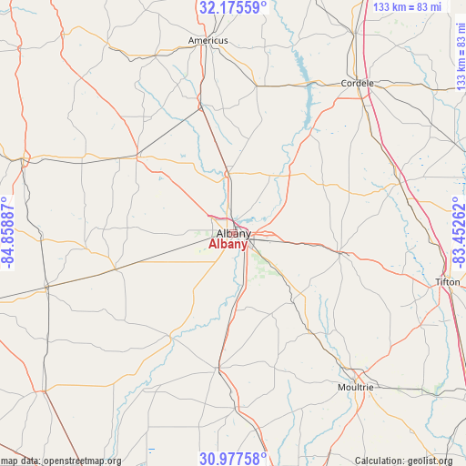
Albany GPS coordinates[2]
31° 34' 42.636" North, 84° 9' 20.664" West
| Map corner | latitude | longitude |
|---|---|---|
| Upper-left | 32.17559°, | -84.85887° |
| Center: | 31.57851°, | -84.15574° |
| Lower-right: | 30.97758°, | -83.45262° |
| Map W x H: | 133.2×133.2 km | = 82.8×82.8mi |
| max Lat: | 71.29058° ⇑89.5% North |
| Albany: | 31.57851° |
| min Lat: | ⇓10.5% South 19.06759° |
| min Long | Albany | max Long |
| -171.73463° | -84.15574° | -66.98998° |
| W 58.8%⇐ | ⇒41.2% E |
Elevation
Elevation of Albany is 66 m = 217 ft, and this is 228.8 m = 751 ft below average elevation for this country.
| Max E: |
3189 m = 10463 ft | 76% |
| Avg. | 294.8 m = 967 ft | |
| Albany | 66 m = 217 ft | |
Min E: |
-60 m = -197 ft | 24% |
See also: Albany elevation on elevation.city.
Geographical zone
Albany is located in North temperate zone (between Tropic of Cancer and the Arctic Circle). Distance of this Northern Tropic circle is 905.3 km =562.5 mi to South.| Distance of | km | miles | from Albany |
|---|---|---|---|
| North Pole | 6495.9 | 4036.4 | to North |
| Arctic Circle | 3890 | 2417.1 | to North |
| Tropic Cancer | 905.3 | 562.5 | to South |
| Equator | 3511.2 | 2181.8 | to South |


Nearby cities:
15 places around Albany: (largest is in red/bold)
• Arabi
48.5 km =30.1 mi,  54°
54°
• Ashburn
49.6 km =30.8 mi,  73°
73°
• Baconton
22.1 km =13.7 mi,  181°
181°
• Camilla
39 km =24.2 mi,  187°
187°
• Dawson
35.2 km =21.9 mi,  308°
308°
• Doerun
36.6 km =22.7 mi,  141°
141°
• Leary
35.5 km =22.1 mi,  253°
253°
• Leesburg
17.1 km =10.6 mi,  355°
355°
• Morgan
42.3 km =26.3 mi,  263°
263°
• Newton
34.1 km =21.2 mi,  210°
210°
• Poulan
35.6 km =22.1 mi,  101°
101°
• Putney
12.6 km =7.8 mi,  163°
163°
• Shellman
47.8 km =29.7 mi,  294°
294°
• Smithville
36.9 km =22.9 mi,  345°
345°
• Sylvester
30.7 km =19.1 mi, 99°
Sources, notices
• [Note1] Compared only with cities in United States existing in our database
• [Src1] Map data: © OpenStreetMap contributors (CC-BY-SA)
• [Src2] Other city data from geonames.org with taken over terms of usage.
• [Src3] Geographical zone / Annual Mean Temperature by Robert A. Rohde @ Wikipedia
