Lamesa geodata
Lamesa (Texas) is a seat of a second-order administrative division; located in United States in America/Chicago (GMT-5) time zone. With population of 9,427 people, there are 4648 cities with bigger population in this country. Compared to other cities in United States, 86.2% of cities are located further ↑North; 81.8% of cities are located further →East and 92.9% of cities have lower elevation than Lamesa. Note1


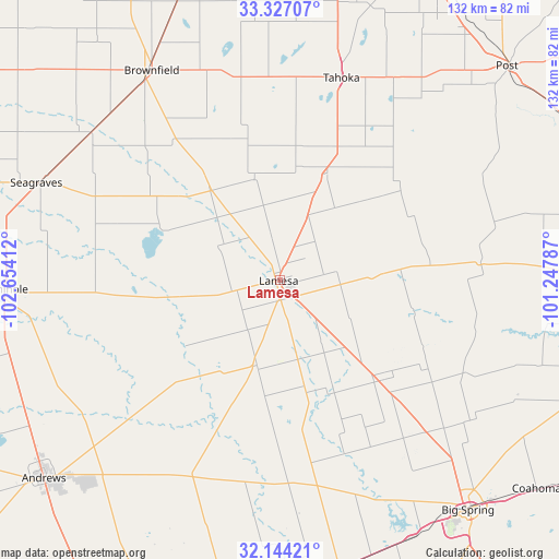
Lamesa GPS coordinates[2]
32° 44' 15.36" North, 101° 57' 3.564" West
| Map corner | latitude | longitude |
|---|---|---|
| Upper-left | 33.32707°, | -102.65412° |
| Center: | 32.7376°, | -101.95099° |
| Lower-right: | 32.14421°, | -101.24787° |
| Map W x H: | 131.5×131.5 km | = 81.7×81.7mi |
| max Lat: | 71.29058° ⇑86.2% North |
| Lamesa: | 32.7376° |
| min Lat: | ⇓13.8% South 19.06759° |
| min Long | Lamesa | max Long |
| -171.73463° | -101.95099° | -66.98998° |
| W 18.2%⇐ | ⇒81.8% E |
Elevation
Elevation of Lamesa is 911 m = 2989 ft, and this is 616.2 m = 2022 ft above average elevation for this country.
| Max E: |
3189 m = 10463 ft | 7.1% |
| Lamesa | 911 m 2989 ft | |
| Avg. | 294.8 m = 967 ft | |
Min E: |
-60 m = -197 ft | 92.9% |
See also: United States elevation on elevation.city.
Geographical zone
Lamesa is located in North temperate zone (between Tropic of Cancer and the Arctic Circle). Distance of this Northern Tropic circle is 1034.2 km =642.6 mi to South.| Distance of | km | miles | from Lamesa |
|---|---|---|---|
| North Pole | 6367 | 3956.3 | to North |
| Arctic Circle | 3761.1 | 2337 | to North |
| Tropic Cancer | 1034.2 | 642.6 | to South |
| Equator | 3640.1 | 2261.9 | to South |


Nearby cities:
15 places around Lamesa: (largest is in red/bold)
• Andrews
72.6 km =45.1 mi,  230°
230°
• Big Spring
70 km =43.5 mi,  140°
140°
• Brownfield
57.8 km =35.9 mi,  328°
328°
• Coahoma
77.8 km =48.3 mi,  129°
129°
• Gail
47.4 km =29.5 mi,  85°
85°
• McKinney Acres
72.7 km =45.2 mi, 228°
• Meadow
70.8 km =44 mi,  340°
340°
• O'Donnell
27.5 km =17.1 mi,  23°
23°
• Post
73.4 km =45.6 mi,  46°
46°
• Sand Springs
75.7 km =47 mi, 131°
• Seagraves
61.8 km =38.4 mi,  291°
291°
• Seminole
64.9 km =40.3 mi,  268°
268°
• Slaton
82.9 km =51.5 mi, 20°
• Stanton
69.3 km =43.1 mi,  167°
167°
• Tahoka
49.9 km =31 mi, 17°
Sources, notices
• [Note1] Compared only with cities in United States existing in our database
• [Src1] Map data: © OpenStreetMap contributors (CC-BY-SA)
• [Src2] Other city data from geonames.org with taken over terms of usage.
• [Src3] Geographical zone / Annual Mean Temperature by Robert A. Rohde @ Wikipedia
