Vega geodata
Vega (Texas) is a seat of a second-order administrative division; located in United States in America/Chicago (GMT-5) time zone. With population of 900 people, there are 16980 cities with bigger population in this country. Compared to other cities in United States, 74% of cities are located further ↑North; 82% of cities are located further →East and 94.8% of cities have lower elevation than Vega. Note1


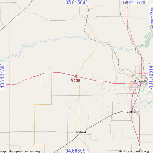
Vega GPS coordinates[2]
35° 14' 34.188" North, 102° 25' 41.736" West
| Map corner | latitude | longitude |
|---|---|---|
| Upper-left | 35.81504°, | -103.13139° |
| Center: | 35.24283°, | -102.42826° |
| Lower-right: | 34.66655°, | -101.72514° |
| Map W x H: | 127.7×127.7 km | = 79.3×79.3mi |
| max Lat: | 71.29058° ⇑74% North |
| Vega: | 35.24283° |
| min Lat: | ⇓26% South 19.06759° |
| min Long | Vega | max Long |
| -171.73463° | -102.42826° | -66.98998° |
| W 18%⇐ | ⇒82% E |
Elevation
Elevation of Vega is 1236 m = 4055 ft, and this is 941.2 m = 3088 ft above average elevation for this country.
| Max E: |
3189 m = 10463 ft | 5.2% |
| Vega | 1236 m 4055 ft | |
| Avg. | 294.8 m = 967 ft | |
Min E: |
-60 m = -197 ft | 94.8% |
See also: United States elevation on elevation.city.
Geographical zone
Vega is located in North temperate zone (between Tropic of Cancer and the Arctic Circle). Distance of this Northern Tropic circle is 1312.7 km =815.7 mi to South.| Distance of | km | miles | from Vega |
|---|---|---|---|
| North Pole | 6088.4 | 3783.2 | to North |
| Arctic Circle | 3482.5 | 2163.9 | to North |
| Tropic Cancer | 1312.7 | 815.7 | to South |
| Equator | 3918.6 | 2434.9 | to South |


Nearby cities:
15 places around Vega: (largest is in red/bold)
• Amarillo
54.3 km =33.7 mi,  92°
92°
• Bovina
91.1 km =56.6 mi,  207°
207°
• Bushland
33.5 km =20.8 mi,  99°
99°
• Canyon
54.8 km =34.1 mi,  122°
122°
• Channing
49.8 km =30.9 mi,  10°
10°
• Dalhart
91.1 km =56.6 mi,  355°
355°
• Dimmitt
77.7 km =48.3 mi,  172°
172°
• Dumas
80.6 km =50.1 mi,  30°
30°
• Friona
72.1 km =44.8 mi,  201°
201°
• Fritch
86.8 km =53.9 mi,  59°
59°
• Happy
76.2 km =47.3 mi,  136°
136°
• Hartley
71.5 km =44.4 mi,  2°
2°
• Hereford
47.6 km =29.6 mi,  176°
176°
• Lake Tanglewood
61.5 km =38.2 mi,  108°
108°
• Logan
90.2 km =56 mi,  278°
278°
Sources, notices
• [Note1] Compared only with cities in United States existing in our database
• [Src1] Map data: © OpenStreetMap contributors (CC-BY-SA)
• [Src2] Other city data from geonames.org with taken over terms of usage.
• [Src3] Geographical zone / Annual Mean Temperature by Robert A. Rohde @ Wikipedia
