Villa Constitución geodata
Villa Constitución (Salto) is a populated place; located in Uruguay in America/Montevideo (GMT-3) time zone. With population of 2,846 people, there are 71 cities with bigger population in this country. Compared to other cities in Uruguay, 94.3% of cities are located further ↓South; 89.3% of cities are located further →East and 55.7% of cities have higher elevation than Villa Constitución. Note1


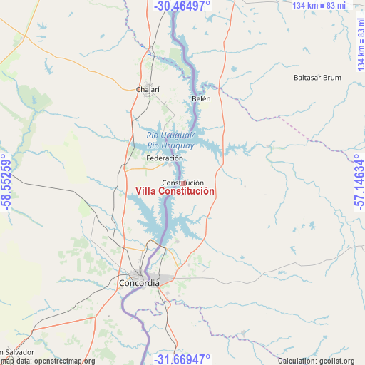
Villa Constitución GPS coordinates[2]
31° 4' 8.868" South, 57° 50' 58.056" West
| Map corner | latitude | longitude |
|---|---|---|
| Upper-left | -30.46497°, | -58.55259° |
| Center: | -31.06913°, | -57.84946° |
| Lower-right: | -31.66947°, | -57.14634° |
| Map W x H: | 133.9×133.9 km | = 83.2×83.2mi |
| max Lat: | -30.25966° ⇑5.7% North |
| Villa Constitución: | -31.06913° |
| min Lat: | ⇓94.3% South -34.94747° |
| min Long | Villa Constituc | max Long |
| -58.41176° | -57.84946° | -53.38583° |
| W 10.7%⇐ | ⇒89.3% E |
Elevation
Elevation of Villa Constitución is 47 m = 154 ft, and this is 23.6 m = 77 ft below average elevation for this country.
| Max E: |
294 m = 965 ft | 55.7% |
| Avg. | 70.6 m = 232 ft | |
| Villa Constitución | 47 m = 154 ft | |
Min E: |
2 m = 7 ft | 44.3% |
See also: Uruguay elevation on elevation.city.
Geographical zone
Villa Constitución is located in South temperate zone (between Tropic of Capricorn and the Antarctic Circle). Distance of this Southern Tropic circle is 848.6 km =527.3 mi to North.| Distance of | km | miles | from Villa Constitución |
|---|---|---|---|
| Equator | 3454.6 | 2146.6 | to North |
| Tropic Capricorn | 848.6 | 527.3 | to North |
| Antarctic Circle | 3946.6 | 2452.3 | to South |
| South Pole | 6552.5 | 4071.5 | to South |


Nearby cities:
15 places around Villa Constitución: (largest is in red/bold)
• Artigas
151.7 km =94.3 mi,  60°
60°
• Baltasar Brum
63.3 km =39.3 mi,  52°
52°
• Bella Unión
93.1 km =57.8 mi,  14°
14°
• Belén
32.1 km =19.9 mi, 12°
• Estación Porvenir
144.7 km =89.9 mi,  180°
180°
• Guichón
156 km =96.9 mi,  156°
156°
• Las Piedras
93.3 km =58 mi,  15°
15°
• Paysandú
140.5 km =87.3 mi,  188°
188°
• Piedras Coloradas
146.6 km =91.1 mi,  171°
171°
• Quebracho
96.4 km =59.9 mi, 182°
• Salto
36.7 km =22.8 mi,  197°
197°
• San Félix
144 km =89.5 mi, 189°
• San Javier
179.5 km =111.5 mi, 188°
• Tomás Gomensoro
81.4 km =50.6 mi,  29°
29°
• Young
182.4 km =113.3 mi, 173°
Sources, notices
• [Note1] Compared only with cities in Uruguay existing in our database
• [Src1] Map data: © OpenStreetMap contributors (CC-BY-SA)
• [Src2] Other city data from geonames.org with taken over terms of usage.
• [Src3] Geographical zone / Annual Mean Temperature by Robert A. Rohde @ Wikipedia
