Naiguatá geodata
Naiguatá (Vargas) is a seat of a third-order administrative division; located in Venezuela in America/Caracas (GMT-4) time zone. In our database, there are 108 cities with bigger population. Compared to other cities in Venezuela, 89.1% of cities are located further ↓South; 74.6% of cities are located further ←West and 88.8% of cities have higher elevation than Naiguatá. Note1


Naiguatá GPS coordinates[2]
10° 37' 12.936" North, 66° 44' 17.988" West
| Map corner | latitude | longitude |
|---|---|---|
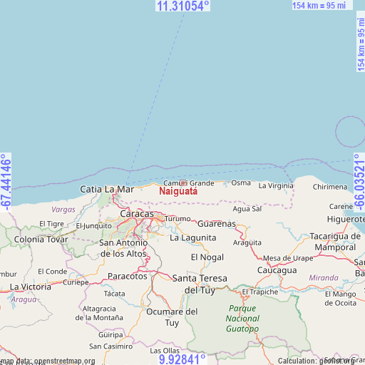
| Upper-left | 11.31054°, | -67.44146° |
| Center: | 10.62026°, | -66.73833° |
| Lower-right: | 9.92841°, | -66.03521° |
| Map W x H: | 153.7×153.7 km | = 95.5×95.5mi |
| max Lat: | 11.94788° ⇑10.9% North |
| Naiguatá: | 10.62026° |
| min Lat: | ⇓89.1% South 1.92027° |
| min Long | Naiguatá | max Long |
| -72.55212° | -66.73833° | -60.99778° |
| W 74.6%⇐ | ⇒25.4% E |
Elevation
Elevation of Naiguatá is 18 m = 59 ft, and this is 362.6 m = 1190 ft below average elevation for this country.
| Max E: |
2986 m = 9797 ft | 88.8% |
| Avg. | 380.6 m = 1249 ft | |
| Naiguatá | 18 m = 59 ft | |
Min E: |
-4 m = -13 ft | 11.2% |
See also: Venezuela elevation on elevation.city.
Geographical zone
Naiguatá is located in North Torrid zone (between Equator and Tropic of Cancer). Distance of Equator is 1180.9 km =733.8 mi to South.| Distance of | km | miles | from Naiguatá |
|---|---|---|---|
| North Pole | 8826.2 | 5484.3 | to North |
| Arctic Circle | 6220.3 | 3865.1 | to North |
| Tropic Cancer | 1425.1 | 885.5 | to North |
| Equator | 1180.9 | 733.8 | to South |


Nearby cities:
15 places around Naiguatá: (largest is in red/bold)
• Baruta
25.6 km =15.9 mi,  215°
215°
• Caraballeda
12.4 km =7.7 mi,  265°
265°
• Caracas
21.3 km =13.2 mi,  226°
226°
• Caucagüito
14.9 km =9.3 mi,  179°
179°
• Chacao
18.7 km =11.6 mi, 222°
• El Cafetal
19.9 km =12.4 mi,  210°
210°
• El Hatillo
23.8 km =14.8 mi,  203°
203°
• Guarenas
21.1 km =13.1 mi,  142°
142°
• Guatire
26.9 km =16.7 mi,  127°
127°
• La Dolorita
15.6 km =9.7 mi, 199°
• La Guaira
21.4 km =13.3 mi,  264°
264°
• Los Dos Caminos
17.2 km =10.7 mi, 215°
• Macuto
17.5 km =10.9 mi, 264°
• Maiquetía
24 km =14.9 mi, 263°
• Petare
17.7 km =11 mi, 205°
Sources, notices
• [Note1] Compared only with cities in Venezuela existing in our database
• [Src1] Map data: © OpenStreetMap contributors (CC-BY-SA)
• [Src2] Other city data from geonames.org with taken over terms of usage.
• [Src3] Geographical zone / Annual Mean Temperature by Robert A. Rohde @ Wikipedia
