San Juan de Payara geodata
San Juan de Payara (Apure) is a seat of a second-order administrative division; located in Venezuela in America/Caracas (GMT-4) time zone. In our database, there are 108 cities with bigger population. Compared to other cities in Venezuela, 93.6% of cities are located further ↑North; 62.1% of cities are located further ←West and 79.4% of cities have higher elevation than San Juan de Payara. Note1


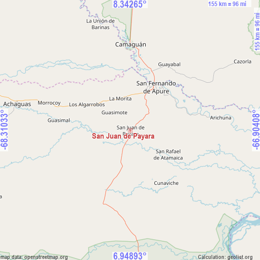
San Juan de Payara GPS coordinates[2]
7° 38' 46.896" North, 67° 36' 25.92" West
| Map corner | latitude | longitude |
|---|---|---|
| Upper-left | 8.34265°, | -68.31033° |
| Center: | 7.64636°, | -67.6072° |
| Lower-right: | 6.94893°, | -66.90408° |
| Map W x H: | 155×155 km | = 96.3×96.3mi |
| max Lat: | 11.94788° ⇑93.6% North |
| San Juan de Payara: | 7.64636° |
| min Lat: | ⇓6.4% South 1.92027° |
| min Long | San Juan de Pay | max Long |
| -72.55212° | -67.6072° | -60.99778° |
| W 62.1%⇐ | ⇒37.9% E |
Elevation
Elevation of San Juan de Payara is 53 m = 174 ft, and this is 327.6 m = 1075 ft below average elevation for this country.
| Max E: |
2986 m = 9797 ft | 79.4% |
| Avg. | 380.6 m = 1249 ft | |
| San Juan de Payara | 53 m = 174 ft | |
Min E: |
-4 m = -13 ft | 20.6% |
See also: Venezuela elevation on elevation.city.
Geographical zone
San Juan de Payara is located in North Torrid zone (between Equator and Tropic of Cancer). Distance of Equator is 850.2 km =528.3 mi to South.| Distance of | km | miles | from San Juan de Payara |
|---|---|---|---|
| North Pole | 9156.9 | 5689.8 | to North |
| Arctic Circle | 6551 | 4070.6 | to North |
| Tropic Cancer | 1755.7 | 1090.9 | to North |
| Equator | 850.2 | 528.3 | to South |


Nearby cities:
15 places around San Juan de Payara: (largest is in red/bold)
• Achaguas
69.5 km =43.2 mi,  282°
282°
• Arismendi
125.1 km =77.7 mi,  317°
317°
• Biruaca
24.2 km =15 mi,  24°
24°
• Caicara del Orinoco
158.6 km =98.5 mi,  90°
90°
• Calabozo
143.4 km =89.1 mi,  7°
7°
• Camaguán
51.3 km =31.9 mi,  359°
359°
• El Baúl
164.7 km =102.3 mi,  332°
332°
• El Regalo
193.7 km =120.4 mi,  296°
296°
• Guadarrama
110.1 km =68.4 mi, 333°
• Guayabal
45.7 km =28.4 mi,  30°
30°
• La Unión
65.7 km =40.8 mi,  344°
344°
• Puerto de Nutrias
192.7 km =119.7 mi, 284°
• San Antonio
97.7 km =60.7 mi,  291°
291°
• San Fernando de Apure
30.7 km =19.1 mi, 28°
• Santa Catalina
147.6 km =91.7 mi, 282°
Sources, notices
• [Note1] Compared only with cities in Venezuela existing in our database
• [Src1] Map data: © OpenStreetMap contributors (CC-BY-SA)
• [Src2] Other city data from geonames.org with taken over terms of usage.
• [Src3] Geographical zone / Annual Mean Temperature by Robert A. Rohde @ Wikipedia
