Đu geodata
Đu (Thái Nguyên) is a seat of a second-order administrative division; located in Vietnam in Asia/Ho_Chi_Minh (GMT+7) time zone. In our database, there are 94 cities with bigger population. Compared to other cities in Vietnam, 88.3% of cities are located further ↓South; 68.2% of cities are located further →East and 70% of cities have lower elevation than Đu. Note1


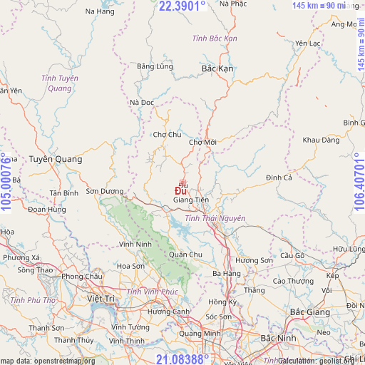
Đu GPS coordinates[2]
21° 44' 18.492" North, 105° 42' 13.968" East
| Map corner | latitude | longitude |
|---|---|---|
| Upper-left | 22.3901°, | 105.00076° |
| Center: | 21.73847°, | 105.70388° |
| Lower-right: | 21.08388°, | 106.40701° |
| Map W x H: | 145.2×145.2 km | = 90.2×90.2mi |
| max Lat: | 23.27841° ⇑11.7% North |
| Đu: | 21.73847° |
| min Lat: | ⇓88.3% South 8.65724° |
| min Long | Đu | max Long |
| 102.4579° | 105.70388° | 112.72541° |
| W 31.8%⇐ | ⇒68.2% E |
Elevation
Elevation of Đu is 56 m = 184 ft, and this is 73.5 m = 241 ft below average elevation for this country.
| Max E: |
1592 m = 5223 ft | 30% |
| Avg. | 129.5 m = 425 ft | |
| Đu | 56 m = 184 ft | |
Min E: |
-1 m = -3 ft | 70% |
See also: Vietnam elevation on elevation.city.
Geographical zone
Đu is located in North Torrid zone (between Equator and Tropic of Cancer). Distance of this Northern Tropic circle is 188.8 km =117.3 mi to North.| Distance of | km | miles | from Đu |
|---|---|---|---|
| North Pole | 7590 | 4716.2 | to North |
| Arctic Circle | 4984.1 | 3097 | to North |
| Tropic Cancer | 188.8 | 117.3 | to North |
| Equator | 2417.1 | 1501.9 | to South |


Nearby cities:
15 places around Đu: (largest is in red/bold)
• Bắc Kạn
47.4 km =29.5 mi,  16°
16°
• Bằng Lũng
47.9 km =29.8 mi,  346°
346°
• Chùa Hang
19.1 km =11.9 mi,  131°
131°
• Chợ Chu
19.8 km =12.3 mi,  341°
341°
• Chợ Mới
17.7 km =11 mi, 23°
• Hương Canh
51.4 km =31.9 mi,  186°
186°
• Hương Sơn
42 km =26.1 mi,  137°
137°
• Hợp Hòa
43.7 km =27.2 mi,  202°
202°
• Lập Thạch
43.8 km =27.2 mi,  214°
214°
• Sơn Dương
31.8 km =19.8 mi,  261°
261°
• Thái Nguyên
21.9 km =13.6 mi, 137°
• Thắng
51.5 km =32 mi,  145°
145°
• Trai Ngau
39.5 km =24.5 mi, 193°
• Tuyên Quang
51.4 km =31.9 mi,  280°
280°
• Vĩnh Yên
48.8 km =30.3 mi, 192°
Sources, notices
• [Note1] Compared only with cities in Vietnam existing in our database
• [Src1] Map data: © OpenStreetMap contributors (CC-BY-SA)
• [Src2] Other city data from geonames.org with taken over terms of usage.
• [Src3] Geographical zone / Annual Mean Temperature by Robert A. Rohde @ Wikipedia
