Pofadder geodata
Pofadder (Northern Cape) is a seat of a third-order administrative division; located in South Africa in Africa/Johannesburg (GMT+2) time zone. With population of 3,287 people, there are 244 cities with bigger population in this country. Compared to other cities in South Africa, 56.6% of cities are located further ↑North; 91.7% of cities are located further →East and 57.5% of cities have higher elevation than Pofadder. Note1
Administrative division(s):
- Level 1: Northern Cape
- Level 2: Namakwa District Municipality
- Level 3: Khâi-Ma


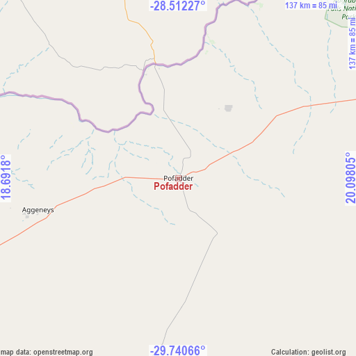
Pofadder GPS coordinates[2]
29° 7' 41.88" South, 19° 23' 41.712" East
| Map corner | latitude | longitude |
|---|---|---|
| Upper-left | -28.51227°, | 18.6918° |
| Center: | -29.1283°, | 19.39492° |
| Lower-right: | -29.74066°, | 20.09805° |
| Map W x H: | 136.6×136.6 km | = 84.9×84.9mi |
| max Lat: | -22.34881° ⇑56.6% North |
| Pofadder: | -29.1283° |
| min Lat: | ⇓43.4% South -34.66739° |
| min Long | Pofadder | max Long |
| 16.8697° | 19.39492° | 32.26762° |
| W 8.3%⇐ | ⇒91.7% E |
Elevation
Elevation of Pofadder is 992 m = 3255 ft, and this is 22.4 m = 73 ft above average elevation for this country.
| Max E: |
1873 m = 6145 ft | 57.5% |
| Pofadder | 992 m 3255 ft | |
| Avg. | 969.6 m = 3181 ft | |
Min E: |
7 m = 23 ft | 42.5% |
See also: South Africa elevation on elevation.city.
Geographical zone
Pofadder is located in South temperate zone (between Tropic of Capricorn and the Antarctic Circle). Distance of this Southern Tropic circle is 632.8 km =393.2 mi to North.| Distance of | km | miles | from Pofadder |
|---|---|---|---|
| Equator | 3238.8 | 2012.5 | to North |
| Tropic Capricorn | 632.8 | 393.2 | to North |
| Antarctic Circle | 4162.4 | 2586.4 | to South |
| South Pole | 6768.3 | 4205.6 | to South |


Nearby cities:
15 places around Pofadder: (largest is in red/bold)
• Brandvlei
182.2 km =113.2 mi,  144°
144°
• Calvinia
263 km =163.4 mi,  172°
172°
• Carnarvon
333.6 km =207.3 mi,  127°
127°
• Clanwilliam
342.9 km =213.1 mi,  188°
188°
• Garies
209.3 km =130.1 mi,  220°
220°
• Groblershoop
253.1 km =157.3 mi,  84°
84°
• Kakamas
125.1 km =77.7 mi,  71°
71°
• Kenhardt
172.7 km =107.3 mi,  98°
98°
• Port Nolloth
245.5 km =152.5 mi,  266°
266°
• Prieska
329.8 km =204.9 mi, 100°
• Springbok
157.8 km =98.1 mi,  247°
247°
• Upington
196.5 km =122.1 mi, 67°
• Van Wyksvlei
271.1 km =168.5 mi,  120°
120°
• Vredendal
295.1 km =183.4 mi,  196°
196°
• Williston
286.1 km =177.8 mi,  149°
149°
Sources, notices
• [Note1] Compared only with cities in South Africa existing in our database
• [Src1] Map data: © OpenStreetMap contributors (CC-BY-SA)
• [Src2] Other city data from geonames.org with taken over terms of usage.
• [Src3] Geographical zone / Annual Mean Temperature by Robert A. Rohde @ Wikipedia
