Mankoeng geodata
Mankoeng (Limpopo) is a populated place; located in South Africa in Africa/Johannesburg (GMT+2) time zone. With population of 12,499 people, there are 185 cities with bigger population in this country. Compared to other cities in South Africa, 96.5% of cities are located further ↓South; 76.7% of cities are located further ←West and 71.1% of cities have lower elevation than Mankoeng. Note1
Administrative division(s):
- Level 1: Limpopo
- Level 2: Capricorn District Municipality
- Level 3: Polokwane


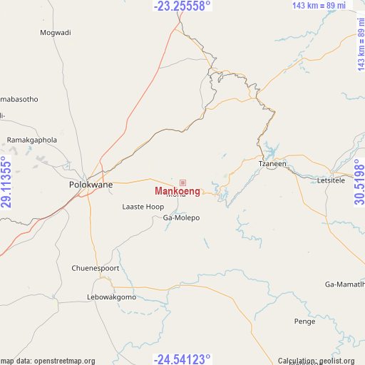
Mankoeng GPS coordinates[2]
23° 54' 0" South, 29° 49' 0.012" East
| Map corner | latitude | longitude |
|---|---|---|
| Upper-left | -23.25558°, | 29.11355° |
| Center: | -23.9°, | 29.81667° |
| Lower-right: | -24.54123°, | 30.5198° |
| Map W x H: | 143×143 km | = 88.9×88.9mi |
| max Lat: | -22.34881° ⇑3.5% North |
| Mankoeng: | -23.9° |
| min Lat: | ⇓96.5% South -34.66739° |
| min Long | Mankoeng | max Long |
| 16.8697° | 29.81667° | 32.26762° |
| W 76.7%⇐ | ⇒23.3% E |
Elevation
Elevation of Mankoeng is 1389 m = 4557 ft, and this is 419.4 m = 1376 ft above average elevation for this country.
| Max E: |
1873 m = 6145 ft | 28.9% |
| Mankoeng | 1389 m 4557 ft | |
| Avg. | 969.6 m = 3181 ft | |
Min E: |
7 m = 23 ft | 71.1% |
See also: South Africa elevation on elevation.city.
Geographical zone
Mankoeng is located in South temperate zone (between Tropic of Capricorn and the Antarctic Circle). Distance of this Southern Tropic circle is 51.5 km =32 mi to North.| Distance of | km | miles | from Mankoeng |
|---|---|---|---|
| Equator | 2657.4 | 1651.2 | to North |
| Tropic Capricorn | 51.5 | 32 | to North |
| Antarctic Circle | 4743.7 | 2947.6 | to South |
| South Pole | 7349.6 | 4566.8 | to South |


Nearby cities:
15 places around Mankoeng: (largest is in red/bold)
• Apel
57.6 km =35.8 mi,  186°
186°
• Bochum
97 km =60.3 mi,  314°
314°
• Burgersfort
100.6 km =62.5 mi,  148°
148°
• Dendron
77.7 km =48.3 mi,  319°
319°
• Duiwelskloof
40.1 km =24.9 mi,  55°
55°
• Ga-Kgapane
50.2 km =31.2 mi, 55°
• Giyani
113.4 km =70.5 mi,  54°
54°
• Hoedspruit
125.8 km =78.2 mi,  113°
113°
• Jane Furse
95.8 km =59.5 mi,  176°
176°
• Lebowakgomo
46.3 km =28.8 mi,  223°
223°
• Louis Trichardt
95.6 km =59.4 mi,  5°
5°
• Mokopane
88.2 km =54.8 mi,  248°
248°
• Nkowakowa
47.8 km =29.7 mi,  88°
88°
• Polokwane
35.4 km =22 mi,  269°
269°
• Tzaneen
36 km =22.4 mi,  78°
78°
Sources, notices
• [Note1] Compared only with cities in South Africa existing in our database
• [Src1] Map data: © OpenStreetMap contributors (CC-BY-SA)
• [Src2] Other city data from geonames.org with taken over terms of usage.
• [Src3] Geographical zone / Annual Mean Temperature by Robert A. Rohde @ Wikipedia
