Wandoan geodata
Wandoan (Queensland) is a populated place; located in Australia in Australia/Brisbane (GMT+10) time zone. With population of 1,108 people, there are 3689 cities with bigger population in this country. Compared to other cities in Australia, 88.6% of cities are located further ↓South; 56.9% of cities are located further ←West and 86.5% of cities have lower elevation than Wandoan. Note1


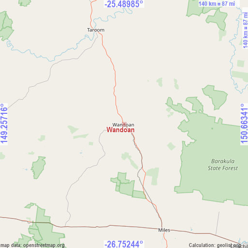
Wandoan GPS coordinates[2]
26° 7' 22.26" South, 149° 57' 37.008" East
| Map corner | latitude | longitude |
|---|---|---|
| Upper-left | -25.48985°, | 149.25716° |
| Center: | -26.12285°, | 149.96028° |
| Lower-right: | -26.75244°, | 150.66341° |
| Map W x H: | 140.4×140.4 km | = 87.2×87.2mi |
| max Lat: | -10.58257° ⇑11.4% North |
| Wandoan: | -26.12285° |
| min Lat: | ⇓88.6% South -43.31423° |
| min Long | Wandoan | max Long |
| 113.53327° | 149.96028° | 153.61246° |
| W 56.9%⇐ | ⇒43.1% E |
Elevation
Elevation of Wandoan is 276 m = 906 ft, and this is 154 m = 505 ft above average elevation for this country.
| Max E: |
1715 m = 5627 ft | 13.5% |
| Wandoan | 276 m 906 ft | |
| Avg. | 122 m = 400 ft | |
Min E: |
-2 m = -7 ft | 86.5% |
See also: Australia elevation on elevation.city.
Geographical zone
Wandoan is located in South temperate zone (between Tropic of Capricorn and the Antarctic Circle). Distance of this Southern Tropic circle is 298.7 km =185.6 mi to North.| Distance of | km | miles | from Wandoan |
|---|---|---|---|
| Equator | 2904.6 | 1804.8 | to North |
| Tropic Capricorn | 298.7 | 185.6 | to North |
| Antarctic Circle | 4496.6 | 2794.1 | to South |
| South Pole | 7102.5 | 4413.3 | to South |


Nearby cities:
15 places around Wandoan: (largest is in red/bold)
• Chinchilla
95.5 km =59.3 mi,  135°
135°
• Dalby
174.9 km =108.7 mi,  132°
132°
• Eidsvold
143.2 km =89 mi,  54°
54°
• Gayndah
174.2 km =108.2 mi,  71°
71°
• Jandowae
136.2 km =84.6 mi,  122°
122°
• Miles
63.7 km =39.6 mi,  159°
159°
• Monto
182.1 km =113.2 mi,  39°
39°
• Moura
172.4 km =107.1 mi,  0°
0°
• Mundubbera
146.6 km =91.1 mi, 66°
• Roma
126.9 km =78.9 mi,  247°
247°
• Tara
137.4 km =85.4 mi, 158°
• Taroom
56.1 km =34.9 mi,  343°
343°
• Theodore
131.4 km =81.6 mi, 4°
• Westcourt
77.6 km =48.2 mi,  165°
165°
• Wondai
192 km =119.3 mi,  96°
96°
Sources, notices
• [Note1] Compared only with cities in Australia existing in our database
• [Src1] Map data: © OpenStreetMap contributors (CC-BY-SA)
• [Src2] Other city data from geonames.org with taken over terms of usage.
• [Src3] Geographical zone / Annual Mean Temperature by Robert A. Rohde @ Wikipedia
