Jandowae geodata
Jandowae (Queensland) is a populated place; located in Australia in Australia/Brisbane (GMT+10) time zone. With population of 1,001 people, there are 3815 cities with bigger population in this country. Compared to other cities in Australia, 86.1% of cities are located further ↓South; 70.3% of cities are located further ←West and 89.7% of cities have lower elevation than Jandowae. Note1


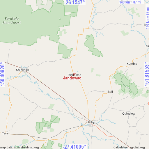
Jandowae GPS coordinates[2]
26° 47' 2.796" South, 151° 6' 44.64" East
| Map corner | latitude | longitude |
|---|---|---|
| Upper-left | -26.1547°, | 150.40928° |
| Center: | -26.78411°, | 151.1124° |
| Lower-right: | -27.41005°, | 151.81553° |
| Map W x H: | 139.6×139.6 km | = 86.7×86.7mi |
| max Lat: | -10.58257° ⇑13.9% North |
| Jandowae: | -26.78411° |
| min Lat: | ⇓86.1% South -43.31423° |
| min Long | Jandowae | max Long |
| 113.53327° | 151.1124° | 153.61246° |
| W 70.3%⇐ | ⇒29.7% E |
Elevation
Elevation of Jandowae is 361 m = 1184 ft, and this is 239 m = 784 ft above average elevation for this country.
| Max E: |
1715 m = 5627 ft | 10.3% |
| Jandowae | 361 m 1184 ft | |
| Avg. | 122 m = 400 ft | |
Min E: |
-2 m = -7 ft | 89.7% |
See also: Australia elevation on elevation.city.
Geographical zone
Jandowae is located in South temperate zone (between Tropic of Capricorn and the Antarctic Circle). Distance of this Southern Tropic circle is 372.2 km =231.3 mi to North.| Distance of | km | miles | from Jandowae |
|---|---|---|---|
| Equator | 2978.1 | 1850.5 | to North |
| Tropic Capricorn | 372.2 | 231.3 | to North |
| Antarctic Circle | 4423.1 | 2748.4 | to South |
| South Pole | 7028.9 | 4367.6 | to South |


Nearby cities:
15 places around Jandowae: (largest is in red/bold)
• Booie
86.9 km =54 mi,  71°
71°
• Chinchilla
48.2 km =30 mi,  276°
276°
• Dalby
46.6 km =29 mi,  161°
161°
• Goombungee
93.5 km =58.1 mi,  128°
128°
• Kingaroy
77 km =47.8 mi, 69°
• Miles
92.8 km =57.7 mi, 278°
• Nanango
89.2 km =55.4 mi,  81°
81°
• Oakey
94 km =58.4 mi,  140°
140°
• South Nanango
84.9 km =52.8 mi,  87°
87°
• Taabinga
75 km =46.6 mi, 72°
• Tara
84.9 km =52.8 mi,  229°
229°
• Wattle Camp
92 km =57.2 mi, 66°
• Westcourt
95.5 km =59.3 mi,  268°
268°
• Wondai
91.7 km =57 mi,  55°
55°
• Yarraman
86.5 km =53.7 mi, 94°
Sources, notices
• [Note1] Compared only with cities in Australia existing in our database
• [Src1] Map data: © OpenStreetMap contributors (CC-BY-SA)
• [Src2] Other city data from geonames.org with taken over terms of usage.
• [Src3] Geographical zone / Annual Mean Temperature by Robert A. Rohde @ Wikipedia
