Romsey geodata
Romsey (Victoria) is a populated place; located in Australia in Australia/Melbourne (GMT+11) time zone. With population of 4,625 people, there are 1590 cities with bigger population in this country. Compared to other cities in Australia, 82.2% of cities are located further ↑North; 69.4% of cities are located further →East and 93.3% of cities have lower elevation than Romsey. Note1


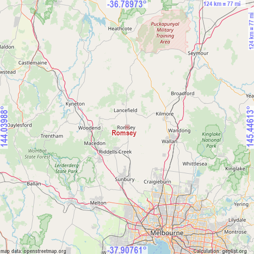
Romsey GPS coordinates[2]
37° 21' 2.7" South, 144° 44' 34.8" East
| Map corner | latitude | longitude |
|---|---|---|
| Upper-left | -36.78973°, | 144.03988° |
| Center: | -37.35075°, | 144.743° |
| Lower-right: | -37.90761°, | 145.44613° |
| Map W x H: | 124.3×124.3 km | = 77.2×77.2mi |
| max Lat: | -10.58257° ⇑82.2% North |
| Romsey: | -37.35075° |
| min Lat: | ⇓17.8% South -43.31423° |
| min Long | Romsey | max Long |
| 113.53327° | 144.743° | 153.61246° |
| W 30.6%⇐ | ⇒69.4% E |
Elevation
Elevation of Romsey is 492 m = 1614 ft, and this is 370 m = 1214 ft above average elevation for this country.
| Max E: |
1715 m = 5627 ft | 6.7% |
| Romsey | 492 m 1614 ft | |
| Avg. | 122 m = 400 ft | |
Min E: |
-2 m = -7 ft | 93.3% |
See also: Australia elevation on elevation.city.
Geographical zone
Romsey is located in South temperate zone (between Tropic of Capricorn and the Antarctic Circle). Distance of this Southern Tropic circle is 1547.1 km =961.3 mi to North.| Distance of | km | miles | from Romsey |
|---|---|---|---|
| Equator | 4153 | 2580.6 | to North |
| Tropic Capricorn | 1547.1 | 961.3 | to North |
| Antarctic Circle | 3248.2 | 2018.3 | to South |
| South Pole | 5854 | 3637.5 | to South |


Nearby cities:
15 places around Romsey: (largest is in red/bold)
• Beveridge
25.8 km =16 mi,  124°
124°
• Gisborne
20.2 km =12.6 mi,  220°
220°
• Gisborne South
24.4 km =15.2 mi,  209°
209°
• Kilmore
19.5 km =12.1 mi,  71°
71°
• Kyneton
28.4 km =17.6 mi,  294°
294°
• Lancefield
8.2 km =5.1 mi,  355°
355°
• Macedon
17.7 km =11 mi,  244°
244°
• Mickleham
25 km =15.5 mi,  145°
145°
• Mount Macedon
15.1 km =9.4 mi,  248°
248°
• New Gisborne
17.6 km =10.9 mi,  226°
226°
• Pyalong
28.2 km =17.5 mi,  20°
20°
• Sunbury
25.2 km =15.7 mi,  183°
183°
• Wallan
22.1 km =13.7 mi,  109°
109°
• Wandong
25.7 km =16 mi,  95°
95°
• Woodend
18.9 km =11.7 mi,  268°
268°
Sources, notices
• [Note1] Compared only with cities in Australia existing in our database
• [Src1] Map data: © OpenStreetMap contributors (CC-BY-SA)
• [Src2] Other city data from geonames.org with taken over terms of usage.
• [Src3] Geographical zone / Annual Mean Temperature by Robert A. Rohde @ Wikipedia
