Loch geodata
Loch (Victoria) is a populated place; located in Australia in Australia/Melbourne (GMT+11) time zone. With population of 619 people, there are 4517 cities with bigger population in this country. Compared to other cities in Australia, 95.4% of cities are located further ↑North; 58.6% of cities are located further →East and 70.1% of cities have lower elevation than Loch. Note1


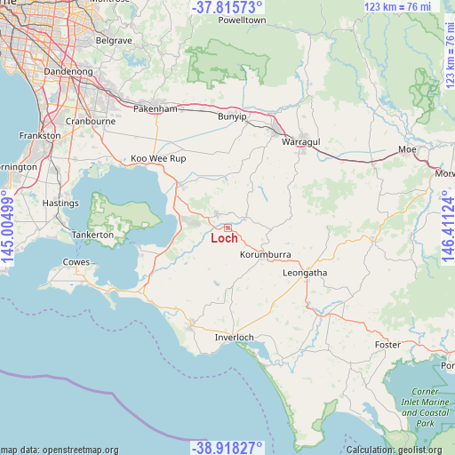
Loch GPS coordinates[2]
38° 22' 8.76" South, 145° 42' 29.196" East
| Map corner | latitude | longitude |
|---|---|---|
| Upper-left | -37.81573°, | 145.00499° |
| Center: | -38.3691°, | 145.70811° |
| Lower-right: | -38.91827°, | 146.41124° |
| Map W x H: | 122.6×122.6 km | = 76.2×76.2mi |
| max Lat: | -10.58257° ⇑95.4% North |
| Loch: | -38.3691° |
| min Lat: | ⇓4.6% South -43.31423° |
| min Long | Loch | max Long |
| 113.53327° | 145.70811° | 153.61246° |
| W 41.4%⇐ | ⇒58.6% E |
Elevation
Elevation of Loch is 104 m = 341 ft, and this is 18 m = 59 ft below average elevation for this country.
| Max E: |
1715 m = 5627 ft | 29.9% |
| Avg. | 122 m = 400 ft | |
| Loch | 104 m = 341 ft | |
Min E: |
-2 m = -7 ft | 70.1% |
See also: Australia elevation on elevation.city.
Geographical zone
Loch is located in South temperate zone (between Tropic of Capricorn and the Antarctic Circle). Distance of this Southern Tropic circle is 1660.3 km =1031.7 mi to North.| Distance of | km | miles | from Loch |
|---|---|---|---|
| Equator | 4266.2 | 2650.9 | to North |
| Tropic Capricorn | 1660.3 | 1031.7 | to North |
| Antarctic Circle | 3134.9 | 1947.9 | to South |
| South Pole | 5740.8 | 3567.2 | to South |


Nearby cities:
15 places around Loch: (largest is in red/bold)
• Corinella
25 km =15.5 mi,  258°
258°
• Coronet Bay
24.2 km =15 mi,  251°
251°
• Dalyston
25.9 km =16.1 mi,  212°
212°
• Drouin
29 km =18 mi,  26°
26°
• Grantville
16.1 km =10 mi, 254°
• Inverloch
28.7 km =17.8 mi,  177°
177°
• Koo-Wee-Rup
26.8 km =16.7 mi,  314°
314°
• Korumburra
12.2 km =7.6 mi,  124°
124°
• Lang Lang
17.1 km =10.6 mi, 311°
• Leongatha
24 km =14.9 mi, 119°
• Longwarry
29 km =18 mi,  10°
10°
• North Wonthaggi
25.3 km =15.7 mi,  203°
203°
• Nyora
5 km =3.1 mi,  321°
321°
• Poowong
5.7 km =3.5 mi,  58°
58°
• Wonthaggi
28.2 km =17.5 mi, 200°
Sources, notices
• [Note1] Compared only with cities in Australia existing in our database
• [Src1] Map data: © OpenStreetMap contributors (CC-BY-SA)
• [Src2] Other city data from geonames.org with taken over terms of usage.
• [Src3] Geographical zone / Annual Mean Temperature by Robert A. Rohde @ Wikipedia
