Cobar geodata
Cobar (New South Wales) is a populated place; located in Australia in Australia/Sydney (GMT+11) time zone. With population of 4,173 people, there are 1729 cities with bigger population in this country. Compared to other cities in Australia, 69.7% of cities are located further ↓South; 57.7% of cities are located further →East and 84.5% of cities have lower elevation than Cobar. Note1


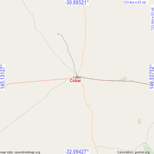
Cobar GPS coordinates[2]
31° 29' 47.976" South, 145° 50' 3.804" East
| Map corner | latitude | longitude |
|---|---|---|
| Upper-left | -30.89521°, | 145.13127° |
| Center: | -31.49666°, | 145.83439° |
| Lower-right: | -32.09427°, | 146.53752° |
| Map W x H: | 133.3×133.3 km | = 82.8×82.8mi |
| max Lat: | -10.58257° ⇑30.3% North |
| Cobar: | -31.49666° |
| min Lat: | ⇓69.7% South -43.31423° |
| min Long | Cobar | max Long |
| 113.53327° | 145.83439° | 153.61246° |
| W 42.3%⇐ | ⇒57.7% E |
Elevation
Elevation of Cobar is 240 m = 787 ft, and this is 118 m = 387 ft above average elevation for this country.
| Max E: |
1715 m = 5627 ft | 15.5% |
| Cobar | 240 m 787 ft | |
| Avg. | 122 m = 400 ft | |
Min E: |
-2 m = -7 ft | 84.5% |
See also: Australia elevation on elevation.city.
Geographical zone
Cobar is located in South temperate zone (between Tropic of Capricorn and the Antarctic Circle). Distance of this Southern Tropic circle is 896.2 km =556.9 mi to North.| Distance of | km | miles | from Cobar |
|---|---|---|---|
| Equator | 3502.1 | 2176.1 | to North |
| Tropic Capricorn | 896.2 | 556.9 | to North |
| Antarctic Circle | 3899.1 | 2422.8 | to South |
| South Pole | 6505 | 4042 | to South |


Nearby cities:
15 places around Cobar: (largest is in red/bold)
• Bourke
156.7 km =97.4 mi,  3°
3°
• Brewarrina
196.9 km =122.3 mi,  29°
29°
• Condobolin
216 km =134.2 mi,  145°
145°
• Coonamble
250.3 km =155.5 mi,  76°
76°
• Gulargambone
251 km =156 mi,  85°
85°
• Hillston
222.6 km =138.3 mi,  187°
187°
• Lake Cargelligo
206.7 km =128.4 mi,  165°
165°
• Narromine
241.4 km =150 mi,  109°
109°
• North Bourke
161 km =100 mi, 3°
• Nyngan
129 km =80.2 mi, 93°
• Peak Hill
260.5 km =161.9 mi,  121°
121°
• Trangie
211.7 km =131.5 mi, 106°
• Trundle
237.4 km =147.5 mi,  131°
131°
• Warren
190.7 km =118.5 mi,  96°
96°
• Wilcannia
233 km =144.8 mi,  268°
268°
Sources, notices
• [Note1] Compared only with cities in Australia existing in our database
• [Src1] Map data: © OpenStreetMap contributors (CC-BY-SA)
• [Src2] Other city data from geonames.org with taken over terms of usage.
• [Src3] Geographical zone / Annual Mean Temperature by Robert A. Rohde @ Wikipedia
