Bolwarra geodata
Bolwarra (Victoria) is a populated place; located in Australia in Australia/Melbourne (GMT+11) time zone. With population of 572 people, there are 4643 cities with bigger population in this country. Compared to other cities in Australia, 94.7% of cities are located further ↑North; 75.2% of cities are located further →East and 61.1% of cities have higher elevation than Bolwarra. Note1


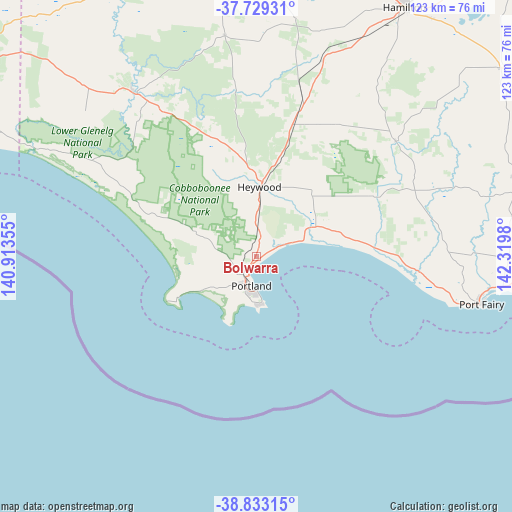
Bolwarra GPS coordinates[2]
38° 16' 59.988" South, 141° 37' 0.012" East
| Map corner | latitude | longitude |
|---|---|---|
| Upper-left | -37.72931°, | 140.91355° |
| Center: | -38.28333°, | 141.61667° |
| Lower-right: | -38.83315°, | 142.3198° |
| Map W x H: | 122.7×122.7 km | = 76.2×76.2mi |
| max Lat: | -10.58257° ⇑94.7% North |
| Bolwarra: | -38.28333° |
| min Lat: | ⇓5.3% South -43.31423° |
| min Long | Bolwarra | max Long |
| 113.53327° | 141.61667° | 153.61246° |
| W 24.8%⇐ | ⇒75.2% E |
Elevation
Elevation of Bolwarra is 31 m = 102 ft, and this is 91 m = 299 ft below average elevation for this country.
| Max E: |
1715 m = 5627 ft | 61.1% |
| Avg. | 122 m = 400 ft | |
| Bolwarra | 31 m = 102 ft | |
Min E: |
-2 m = -7 ft | 38.9% |
See also: Australia elevation on elevation.city.
Geographical zone
Bolwarra is located in South temperate zone (between Tropic of Capricorn and the Antarctic Circle). Distance of this Southern Tropic circle is 1650.8 km =1025.8 mi to North.| Distance of | km | miles | from Bolwarra |
|---|---|---|---|
| Equator | 4256.7 | 2645 | to North |
| Tropic Capricorn | 1650.8 | 1025.8 | to North |
| Antarctic Circle | 3144.5 | 1953.9 | to South |
| South Pole | 5750.4 | 3573.1 | to South |


Nearby cities:
15 places around Bolwarra: (largest is in red/bold)
• Bushfield
78.7 km =48.9 mi,  94°
94°
• Casterton
79.9 km =49.6 mi,  346°
346°
• Coleraine
76.5 km =47.5 mi,  4°
4°
• Dennington
71.7 km =44.6 mi,  96°
96°
• Hamilton
69.7 km =43.3 mi,  30°
30°
• Heywood
16.8 km =10.4 mi, 3°
• Koroit
65.5 km =40.7 mi, 90°
• Macarthur
43.6 km =27.1 mi,  50°
50°
• Penshurst
74.4 km =46.2 mi, 52°
• Port Fairy
55.3 km =34.4 mi, 101°
• Port MacDonnell
84.2 km =52.3 mi,  287°
287°
• Portland
7.1 km =4.4 mi,  189°
189°
• Portland North
4.9 km =3 mi,  235°
235°
• Portland West
8.7 km =5.4 mi,  205°
205°
• Warrnambool
76.8 km =47.7 mi, 98°
Sources, notices
• [Note1] Compared only with cities in Australia existing in our database
• [Src1] Map data: © OpenStreetMap contributors (CC-BY-SA)
• [Src2] Other city data from geonames.org with taken over terms of usage.
• [Src3] Geographical zone / Annual Mean Temperature by Robert A. Rohde @ Wikipedia
