Tindal geodata
Tindal (Northern Territory) is a section of populated place; located in Australia in Australia/Darwin (GMT+9.5) time zone. With population of 993 people, there are 3833 cities with bigger population in this country. Compared to other cities in Australia, 98.1% of cities are located further ↓South; 87% of cities are located further →East and 76% of cities have lower elevation than Tindal. Note1


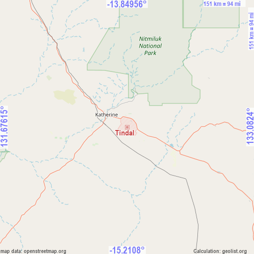
Tindal GPS coordinates[2]
14° 31' 52.428" South, 132° 22' 45.372" East
| Map corner | latitude | longitude |
|---|---|---|
| Upper-left | -13.84956°, | 131.67615° |
| Center: | -14.53123°, | 132.37927° |
| Lower-right: | -15.2108°, | 133.0824° |
| Map W x H: | 151.4×151.4 km | = 94.1×94.1mi |
| max Lat: | -10.58257° ⇑1.9% North |
| Tindal: | -14.53123° |
| min Lat: | ⇓98.1% South -43.31423° |
| min Long | Tindal | max Long |
| 113.53327° | 132.37927° | 153.61246° |
| W 13%⇐ | ⇒87% E |
Elevation
Elevation of Tindal is 138 m = 453 ft, and this is 16 m = 52 ft above average elevation for this country.
| Max E: |
1715 m = 5627 ft | 24% |
| Tindal | 138 m 453 ft | |
| Avg. | 122 m = 400 ft | |
Min E: |
-2 m = -7 ft | 76% |
See also: Australia elevation on elevation.city.
Geographical zone
Tindal is located in South Torrid zone (between Equator and Tropic of Capricorn). Distance of this Southern Tropic circle is 990.2 km =615.3 mi to South.| Distance of | km | miles | from Tindal |
|---|---|---|---|
| Equator | 1615.7 | 1003.9 | to North |
| Tropic Capricorn | 990.2 | 615.3 | to South |
| Antarctic Circle | 5785.5 | 3594.9 | to South |
| South Pole | 8391.3 | 5214.1 | to South |


Nearby cities:
15 places around Tindal: (largest is in red/bold)
• Acacia Hills
235.9 km =146.6 mi,  324°
324°
• Batchelor
219.8 km =136.6 mi, 318°
• Beswick
79.2 km =49.2 mi,  92°
92°
• Cossack
23.6 km =14.7 mi,  290°
290°
• Darwin River
243.8 km =151.5 mi, 321°
• Douglas-Daly
137.4 km =85.4 mi,  306°
306°
• Jabiru
212.7 km =132.2 mi,  13°
13°
• Kakadu
185.2 km =115.1 mi,  3°
3°
• Katherine
14.5 km =9 mi,  300°
300°
• Katherine East
12.4 km =7.7 mi, 305°
• Katherine South
14.8 km =9.2 mi, 298°
• Lansdowne
11.1 km =6.9 mi, 4°
• Marrakai
220.5 km =137 mi,  333°
333°
• Mataranka
85.5 km =53.1 mi,  120°
120°
• Miniyeri
198.4 km =123.3 mi,  112°
112°
Sources, notices
• [Note1] Compared only with cities in Australia existing in our database
• [Src1] Map data: © OpenStreetMap contributors (CC-BY-SA)
• [Src2] Other city data from geonames.org with taken over terms of usage.
• [Src3] Geographical zone / Annual Mean Temperature by Robert A. Rohde @ Wikipedia
