Mataranka geodata
Mataranka (Northern Territory) is a populated place; located in Australia in Australia/Darwin (GMT+9.5) time zone. With population of 890 people, there are 3989 cities with bigger population in this country. Compared to other cities in Australia, 98% of cities are located further ↓South; 86.9% of cities are located further →East and 76.2% of cities have lower elevation than Mataranka. Note1


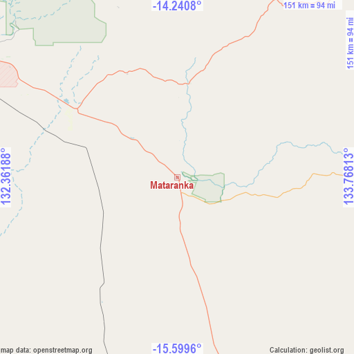
Mataranka GPS coordinates[2]
14° 55' 16.572" South, 133° 3' 54" East
| Map corner | latitude | longitude |
|---|---|---|
| Upper-left | -14.2408°, | 132.36188° |
| Center: | -14.92127°, | 133.065° |
| Lower-right: | -15.5996°, | 133.76813° |
| Map W x H: | 151.1×151.1 km | = 93.9×93.9mi |
| max Lat: | -10.58257° ⇑2% North |
| Mataranka: | -14.92127° |
| min Lat: | ⇓98% South -43.31423° |
| min Long | Mataranka | max Long |
| 113.53327° | 133.065° | 153.61246° |
| W 13.1%⇐ | ⇒86.9% E |
Elevation
Elevation of Mataranka is 140 m = 459 ft, and this is 18 m = 59 ft above average elevation for this country.
| Max E: |
1715 m = 5627 ft | 23.8% |
| Mataranka | 140 m 459 ft | |
| Avg. | 122 m = 400 ft | |
Min E: |
-2 m = -7 ft | 76.2% |
See also: Australia elevation on elevation.city.
Geographical zone
Mataranka is located in South Torrid zone (between Equator and Tropic of Capricorn). Distance of this Southern Tropic circle is 946.8 km =588.3 mi to South.| Distance of | km | miles | from Mataranka |
|---|---|---|---|
| Equator | 1659.1 | 1030.9 | to North |
| Tropic Capricorn | 946.8 | 588.3 | to South |
| Antarctic Circle | 5742.1 | 3568 | to South |
| South Pole | 8348 | 5187.2 | to South |


Nearby cities:
15 places around Mataranka: (largest is in red/bold)
• Batchelor
302.4 km =187.9 mi,  313°
313°
• Beswick
40.7 km =25.3 mi,  7°
7°
• Cossack
108.9 km =67.7 mi,  298°
298°
• Douglas-Daly
222.7 km =138.4 mi, 304°
• Gunbalanya
288.7 km =179.4 mi,  359°
359°
• Jabiru
251.5 km =156.3 mi,  354°
354°
• Kakadu
237 km =147.3 mi,  344°
344°
• Katherine
100 km =62.1 mi, 300°
• Katherine East
97.9 km =60.8 mi, 301°
• Katherine South
100.3 km =62.3 mi, 300°
• Lansdowne
90.9 km =56.5 mi, 306°
• Marrakai
295.8 km =183.8 mi,  324°
324°
• Miniyeri
114.1 km =70.9 mi,  107°
107°
• Ngukurr
180.3 km =112 mi,  83°
83°
• Tindal
85.5 km =53.1 mi, 300°
Sources, notices
• [Note1] Compared only with cities in Australia existing in our database
• [Src1] Map data: © OpenStreetMap contributors (CC-BY-SA)
• [Src2] Other city data from geonames.org with taken over terms of usage.
• [Src3] Geographical zone / Annual Mean Temperature by Robert A. Rohde @ Wikipedia
