Khyzy geodata
Khyzy (Xızı) is a seat of a first-order administrative division; located in Azerbaijan in Asia/Baku (GMT+4) time zone. With population of 1,024 people, there are 169 cities with bigger population in this country. Compared to other cities in Azerbaijan, 82.7% of cities are located further ↓South; 73.5% of cities are located further ←West and 76.2% of cities have lower elevation than Khyzy. Note1


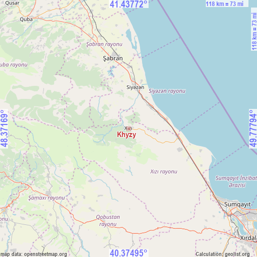
Khyzy GPS coordinates[2]
40° 54' 30.492" North, 49° 4' 29.316" East
| Map corner | latitude | longitude |
|---|---|---|
| Upper-left | 41.43772°, | 48.37169° |
| Center: | 40.90847°, | 49.07481° |
| Lower-right: | 40.37495°, | 49.77794° |
| Map W x H: | 118.2×118.2 km | = 73.4×73.4mi |
| max Lat: | 41.75259° ⇑17.3% North |
| Khyzy: | 40.90847° |
| min Lat: | ⇓82.7% South 38.45598° |
| min Long | Khyzy | max Long |
| 44.84846° | 49.07481° | 50.84003° |
| W 73.5%⇐ | ⇒26.5% E |
Elevation
Elevation of Khyzy is 689 m = 2260 ft, and this is 306 m = 1004 ft above average elevation for this country.
| Max E: |
2211 m = 7254 ft | 23.8% |
| Khyzy | 689 m 2260 ft | |
| Avg. | 383 m = 1257 ft | |
Min E: |
-26 m = -85 ft | 76.2% |
See also: Azerbaijan elevation on elevation.city.
Geographical zone
Khyzy is located in North temperate zone (between Tropic of Cancer and the Arctic Circle). Distance of this Northern Tropic circle is 1942.7 km =1207.1 mi to South.| Distance of | km | miles | from Khyzy |
|---|---|---|---|
| North Pole | 5458.5 | 3391.8 | to North |
| Arctic Circle | 2852.6 | 1772.5 | to North |
| Tropic Cancer | 1942.7 | 1207.1 | to South |
| Equator | 4548.6 | 2826.4 | to South |


Nearby cities:
15 places around Khyzy: (largest is in red/bold)
• Altıağac
13 km =8.1 mi,  244°
244°
• Basqal
60 km =37.3 mi,  253°
253°
• Ceyranbatan
64 km =39.8 mi,  129°
129°
• Corat
65 km =40.4 mi, 125°
• Divichibazar
33.4 km =20.8 mi,  347°
347°
• Gilgilçay
25.7 km =16 mi,  2°
2°
• Hacı Zeynalabdin
51.6 km =32.1 mi, 127°
• Kilyazi
22.9 km =14.2 mi,  99°
99°
• Kyzyl-Burun
19.2 km =11.9 mi,  10°
10°
• Lahıc
58.6 km =36.4 mi,  263°
263°
• Qobustan
43.5 km =27 mi,  196°
196°
• Shamakhi
47.8 km =29.7 mi,  229°
229°
• Sumqayıt
61.3 km =38.1 mi, 125°
• Xaçmaz
65.8 km =40.9 mi,  339°
339°
• Şuraabad
34.5 km =21.4 mi,  106°
106°
Sources, notices
• [Note1] Compared only with cities in Azerbaijan existing in our database
• [Src1] Map data: © OpenStreetMap contributors (CC-BY-SA)
• [Src2] Other city data from geonames.org with taken over terms of usage.
• [Src3] Geographical zone / Annual Mean Temperature by Robert A. Rohde @ Wikipedia
