Capinzal geodata
Capinzal (Santa Catarina) is a populated place; located in Brazil in America/Sao_Paulo (GMT-3) time zone. With population of 23,795 people, there are 808 cities with bigger population in this country. Compared to other cities in Brazil, 91.9% of cities are located further ↑North; 86% of cities are located further →East and 58.5% of cities have lower elevation than Capinzal. Note1


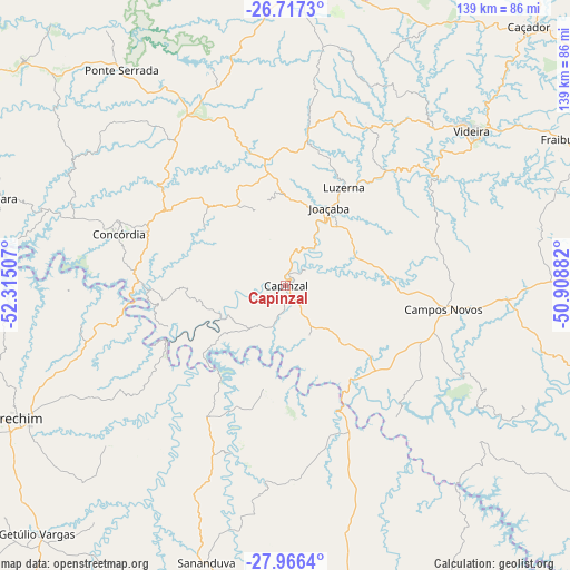
Capinzal GPS coordinates[2]
27° 20' 36.996" South, 51° 36' 42.984" West
| Map corner | latitude | longitude |
|---|---|---|
| Upper-left | -26.7173°, | -52.31507° |
| Center: | -27.34361°, | -51.61194° |
| Lower-right: | -27.9664°, | -50.90882° |
| Map W x H: | 138.9×138.9 km | = 86.3×86.3mi |
| max Lat: | 2.81972° ⇑91.9% North |
| Capinzal: | -27.34361° |
| min Lat: | ⇓8.1% South -33.69111° |
| min Long | Capinzal | max Long |
| -72.89583° | -51.61194° | -32.41083° |
| W 14%⇐ | ⇒86% E |
Elevation
Elevation of Capinzal is 459 m = 1506 ft, and this is 78.1 m = 256 ft above average elevation for this country.
| Max E: |
1603 m = 5259 ft | 41.5% |
| Capinzal | 459 m 1506 ft | |
| Avg. | 380.9 m = 1250 ft | |
Min E: |
0 m = 0 ft | 58.5% |
See also: Brazil elevation on elevation.city.
Geographical zone
Capinzal is located in South temperate zone (between Tropic of Capricorn and the Antarctic Circle). Distance of this Southern Tropic circle is 434.4 km =269.9 mi to North.| Distance of | km | miles | from Capinzal |
|---|---|---|---|
| Equator | 3040.3 | 1889.2 | to North |
| Tropic Capricorn | 434.4 | 269.9 | to North |
| Antarctic Circle | 4360.8 | 2709.7 | to South |
| South Pole | 6966.7 | 4328.9 | to South |


Nearby cities:
15 places around Capinzal: (largest is in red/bold)
• Campos Novos
38.7 km =24 mi,  99°
99°
• Caçador
86.5 km =53.7 mi,  43°
43°
• Celso Ramos
42.2 km =26.2 mi,  139°
139°
• Chapecó
103.2 km =64.1 mi,  285°
285°
• Concórdia
42.9 km =26.7 mi, 286°
• Curitibanos
101.7 km =63.2 mi,  86°
86°
• Erechim
73 km =45.4 mi,  243°
243°
• Estrela
103.7 km =64.4 mi, 140°
• Joaçaba
21.2 km =13.2 mi,  29°
29°
• Lagoa Vermelha
96.6 km =60 mi,  174°
174°
• Palmas
102.7 km =63.8 mi,  338°
338°
• Sananduva
70.1 km =43.6 mi,  195°
195°
• Tapejara
89.7 km =55.7 mi,  206°
206°
• Videira
58.8 km =36.5 mi,  50°
50°
• Xanxerê
94 km =58.4 mi,  303°
303°
Sources, notices
• [Note1] Compared only with cities in Brazil existing in our database
• [Src1] Map data: © OpenStreetMap contributors (CC-BY-SA)
• [Src2] Other city data from geonames.org with taken over terms of usage.
• [Src3] Geographical zone / Annual Mean Temperature by Robert A. Rohde @ Wikipedia
